

Notice: This is the official website of the All Empires History Community (Reg. 10 Feb 2002)


Pictures From Your Travels |
Post Reply 
|
Page 12> |
| Author |
 Printable Version Printable Version Google Google Delicious Delicious Digg Digg StumbleUpon StumbleUpon Windows Live Windows Live Yahoo Bookmarks Yahoo Bookmarks reddit reddit Facebook Facebook MySpace MySpace Newsvine Newsvine Furl Furl Topic Search Topic Search  Topic Options Topic Options
|
Don Quixote 
Tsar 
Retired AE Moderator Joined: 29-Dec-2010 Online Status: Offline Posts: 4734 |
 Quote Reply Quote Reply
 Topic: Pictures From Your Travels Topic: Pictures From Your TravelsPosted: 04-Oct-2011 at 03:11 |
|
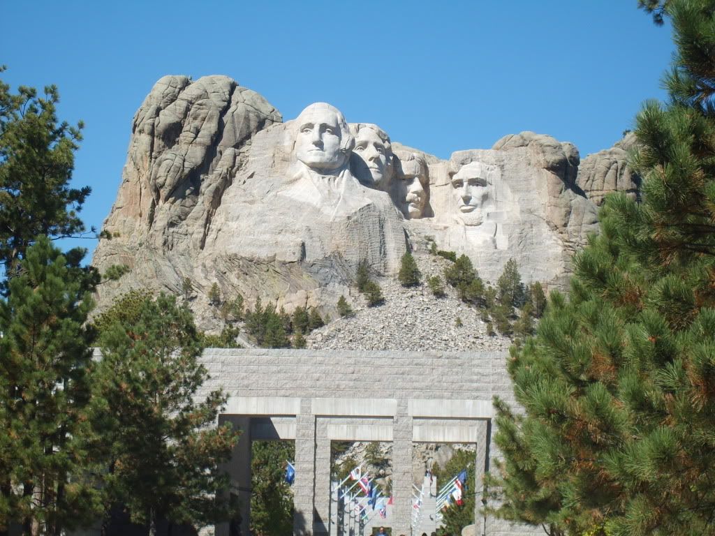
I just came from a vacation to Mount Rushmore and there some pictures I had taken there
 |
|
 |
|
|
Menumorut
Chieftain 

Joined: 02-Jun-2006 Location: Romania Online Status: Offline Posts: 1423 |
Quote Reply
Posted: 15-Nov-2011 at 21:35 |
|
Some pics and movies from two trips in Transylvania this summer:
Olt Defile (between Wallachia and Transylvania) 
Sibiu 
Sebeş 
Alba Iulia 
Deva 
Ascending to Deva citadel Haţeg 
Jiu Defile (between Transylvania and Wallachia) Sighişoara 
Făgăraş Castle 
Rupea 
Somewhere in the depression surounding Braşov |
|
 |
|
|
|
|
Menumorut
Chieftain
Joined: 02-Jun-2006 Location: Romania Online Status: Offline Posts: 1423 |
Quote Reply
Posted: 20-Jun-2012 at 05:17 |
|
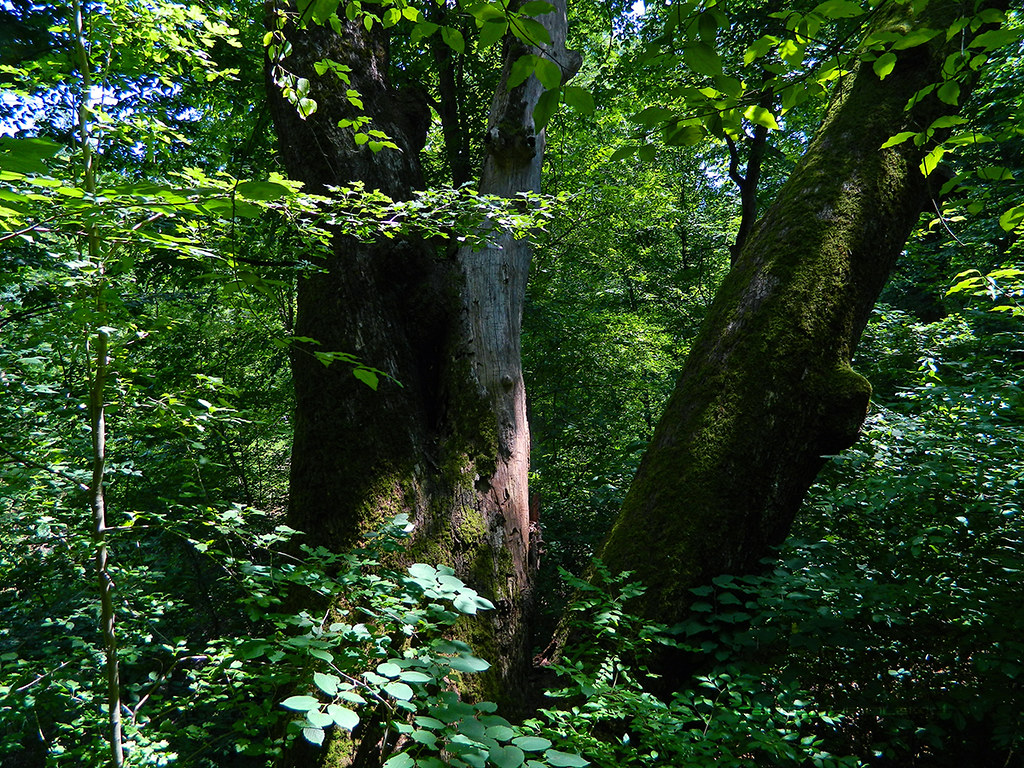
Some photos I made Friday in Cernica Forest. A wild place, with big trees and tens of ponds surrounded by lush vegetation, something you wouldn't expect at 7 km of Bucharest and about which nobody knows (except that exists) because nobody visit it and is not promoted in any way, although is the biggest forest near Bucharest (some 10 X 7 km):
Cernica Forest near Bucharest, Romania by CARPATHIANLAND, on Flickr 
Cernica Forest near Bucharest, Romania by CARPATHIANLAND, on Flickr 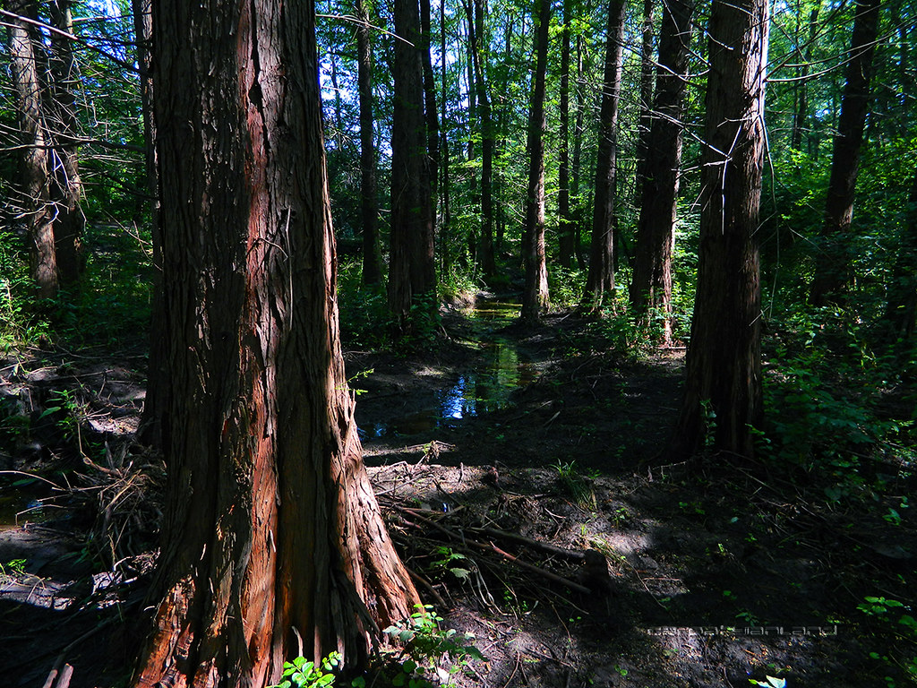
Cernica Forest near Bucharest, Romania by CARPATHIANLAND, on Flickr 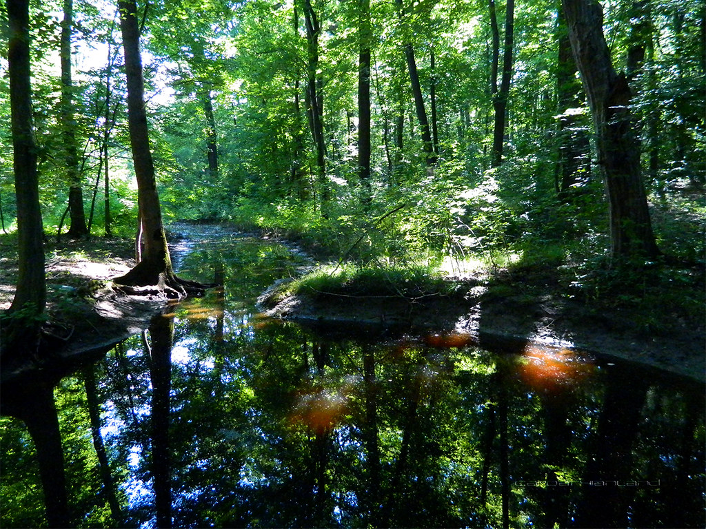
Cernica Forest near Bucharest, Romania by CARPATHIANLAND, on Flickr 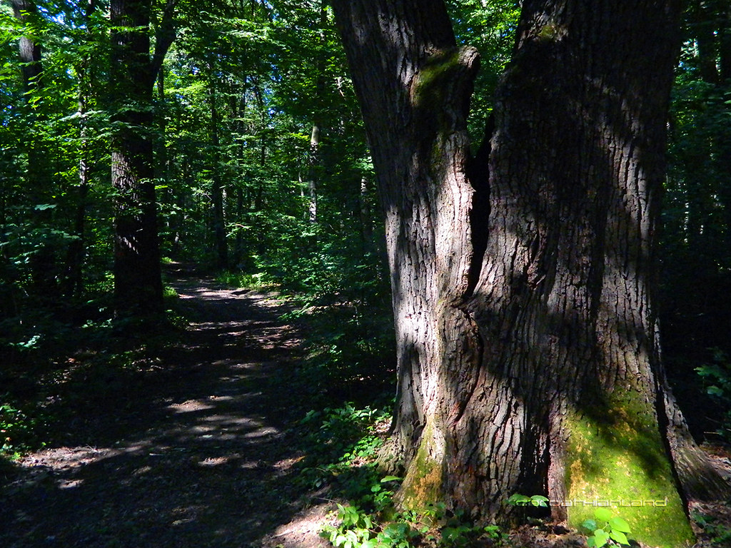
Cernica Forest near Bucharest, Romania by CARPATHIANLAND, on Flickr 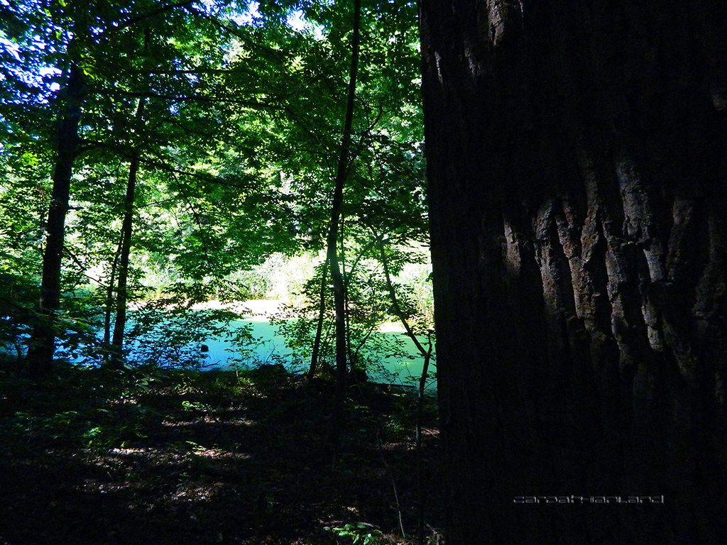
Cernica Forest near Bucharest, Romania by CARPATHIANLAND, on Flickr 
Cernica Forest near Bucharest, Romania by CARPATHIANLAND, on Flickr 
Cernica Forest near Bucharest, Romania by CARPATHIANLAND, on Flickr 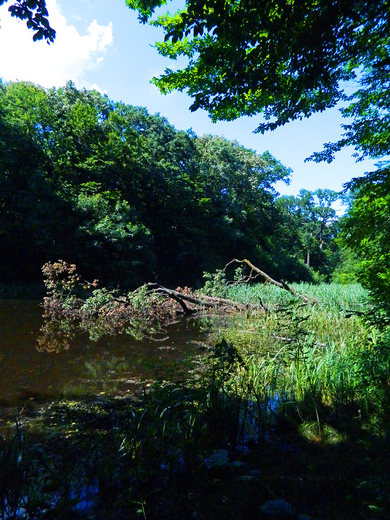
Cernica Forest near Bucharest, Romania by CARPATHIANLAND, on Flickr 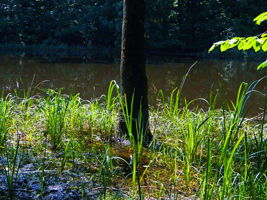
Cernica Forest near Bucharest, Romania by CARPATHIANLAND, on Flickr 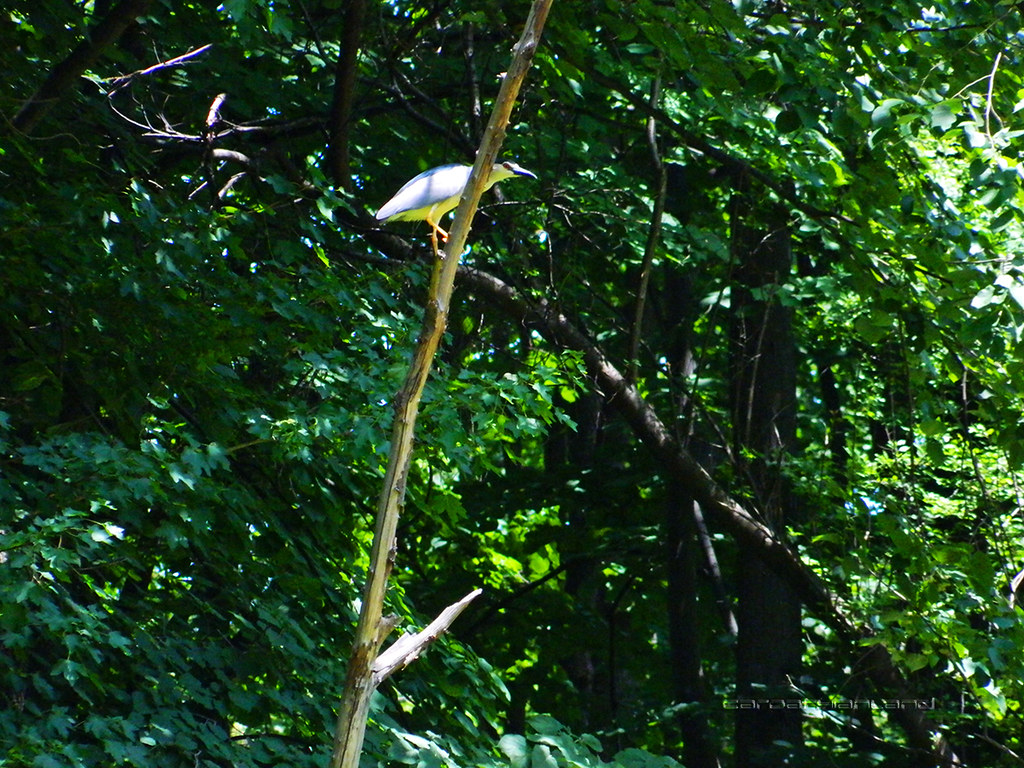
Cernica Forest near Bucharest, Romania by CARPATHIANLAND, on Flickr |
|
|
|
|
|
|
|
Menumorut
Chieftain
Joined: 02-Jun-2006 Location: Romania Online Status: Offline Posts: 1423 |
Quote Reply
Posted: 16-Jul-2012 at 12:58 |
|
Pictures from Jiu Defile National Park which I visited few days ago. I hiked an entire day on mountain from 7 AM to 11 PM, coming back on dark when thousands of fireflies were flying like in a fairy tale (unfortunately their light is too low to be captured by my camera). the forests too were looking fairy talish, as you can see.
After climbing the mountain, next day I walked ~18 km on the defile to photograph the viaducts and tunnels of the spectacular railway, then I came back with the train taking other photos from the height of the railway (the order of pictures is not chronological). The red roof in second picture is of the motel where I slept, in the total wilderness of the valley. 
Defile of Jiu National Park - Romania by CARPATHIANLAND, on Flickr 
Defile of Jiu National Park - Romania by CARPATHIANLAND, on Flickr 
Defile of Jiu National Park - Romania by CARPATHIANLAND, on Flickr 
Defile of Jiu National Park - Romania by CARPATHIANLAND, on Flickr 
Defile of Jiu National Park - Romania by CARPATHIANLAND, on Flickr 
Defile of Jiu National Park - Romania by CARPATHIANLAND, on Flickr 
Defile of Jiu National Park - Romania by CARPATHIANLAND, on Flickr 
Defile of Jiu National Park - Romania by CARPATHIANLAND, on Flickr 
Defile of Jiu National Park - Romania by CARPATHIANLAND, on Flickr 
Defile of Jiu National Park - Romania by CARPATHIANLAND, on Flickr 
Defile of Jiu National Park - Romania by CARPATHIANLAND, on Flickr 
Defile of Jiu National Park - Romania by CARPATHIANLAND, on Flickr 
Defile of Jiu National Park - Romania by CARPATHIANLAND, on Flickr 
Defile of Jiu National Park - Romania by CARPATHIANLAND, on Flickr 
Defile of Jiu National Park - Romania by CARPATHIANLAND, on Flickr 
Defile of Jiu National Park - Romania by CARPATHIANLAND, on Flickr 
Defile of Jiu National Park - Romania by CARPATHIANLAND, on Flickr |
|
|
|
|
|
|
|
Menumorut
Chieftain
Joined: 02-Jun-2006 Location: Romania Online Status: Offline Posts: 1423 |
Quote Reply
Posted: 07-Sep-2012 at 11:57 |
|
I was last days in a trip in Cerna Valley - Domogled National Park, Băile Herculane, Iron Gates Natural Park (Danube's Defile), Timișoara and Lugoj and turned back to Bucharest on Transfăgărășan Highway.
This was the route: 
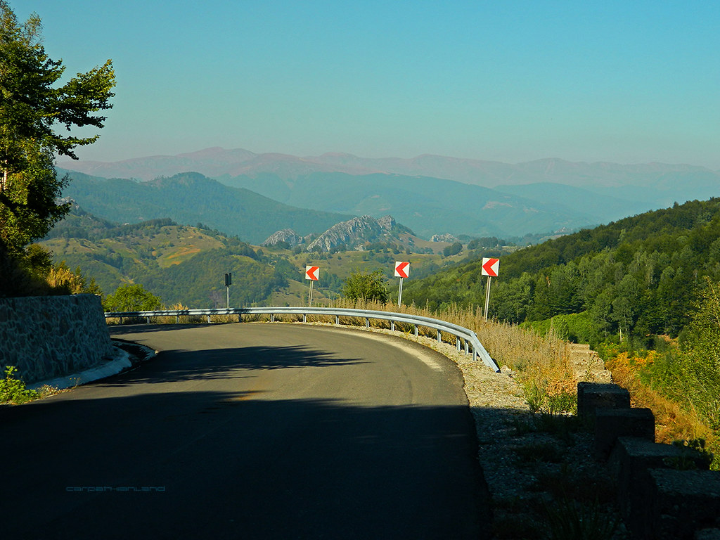
And here are the pictures and movies made by me, not in order of the route. Transfăgărășan Highway, the best road in the world according to Jeremy Clarckson (host of Top Gear tv show). The movie is the best part ;) 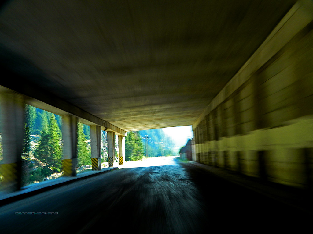
Transfăgărășan by CARPATHIANLAND, on Flickr 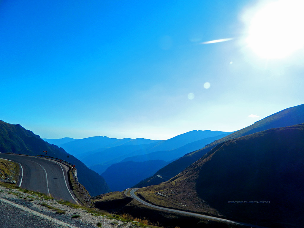
Transfăgărășan by CARPATHIANLAND, on Flickr 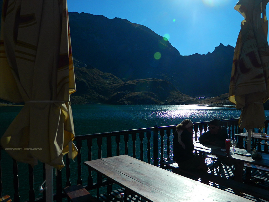
Transfăgărășan by CARPATHIANLAND, on Flickr 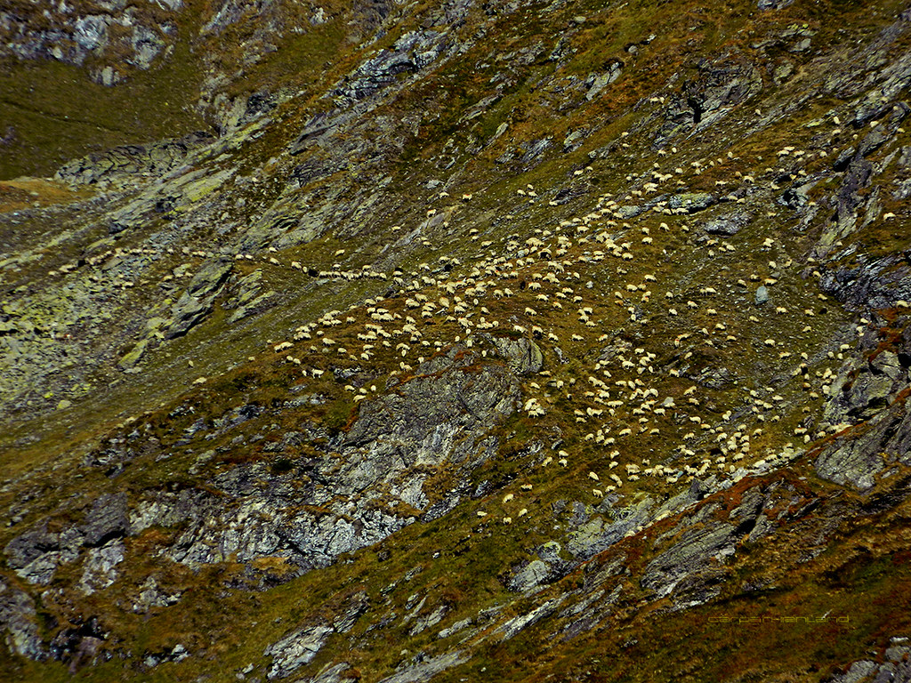
Transfăgărășan by CARPATHIANLAND, on Flickr |
|
|
|
|
|
|
|
Menumorut
Chieftain
Joined: 02-Jun-2006 Location: Romania Online Status: Offline Posts: 1423 |
Quote Reply
Posted: 09-Sep-2012 at 06:03 |
|
^^ from the same trip:
Iron Gates Natural Park is situated in south-western part of Romania, at the border with Republic of Serbia, covering about 1165 km². It includes: - The Danube defile - Europe’s longest defile (134 km) and one of world's largest defiles by water flow (if not The Largest); -Romania’s largest Hydropower Plant and Reservoir (Iron Gates I Hydropower and Navigation System); - The highest ethnic diversity in a Romanian protected area: Romanians, Serbians, Czechs, Slovaks, Germans, Hungarians; - High geological diversity that might grant the statute of open-air geological museum statute; -High biological diversity – over 1600 vegetal taxa (superior plants) and over 5200 fauna taxa; -High vegetation associations diversity – in the Natural Park area 171 vegetation associations were identified, of which 26 are endemic for Romania and 21 of communitarian interest; -The presence of wetlands that constitute important habitats for protected aquatic bird species; -Marks of Paleolithic, Mesolithic and Neolithic human settlements - historical evidences of human habitation: fortresses, monasteries, churches; -Buildings with high historical and architectural value, water mills with a unique grinding mechanism. 
The Great Kazan The Great Kazan and the Small Kazan are considered the most spectacular parts of the defile, where Danube reaches is smallest width. They are situated before and after Dubova Bay. 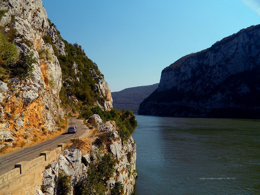
Iron Gates Natural Park - Great Kazan by CARPATHIANLAND, on Flickr 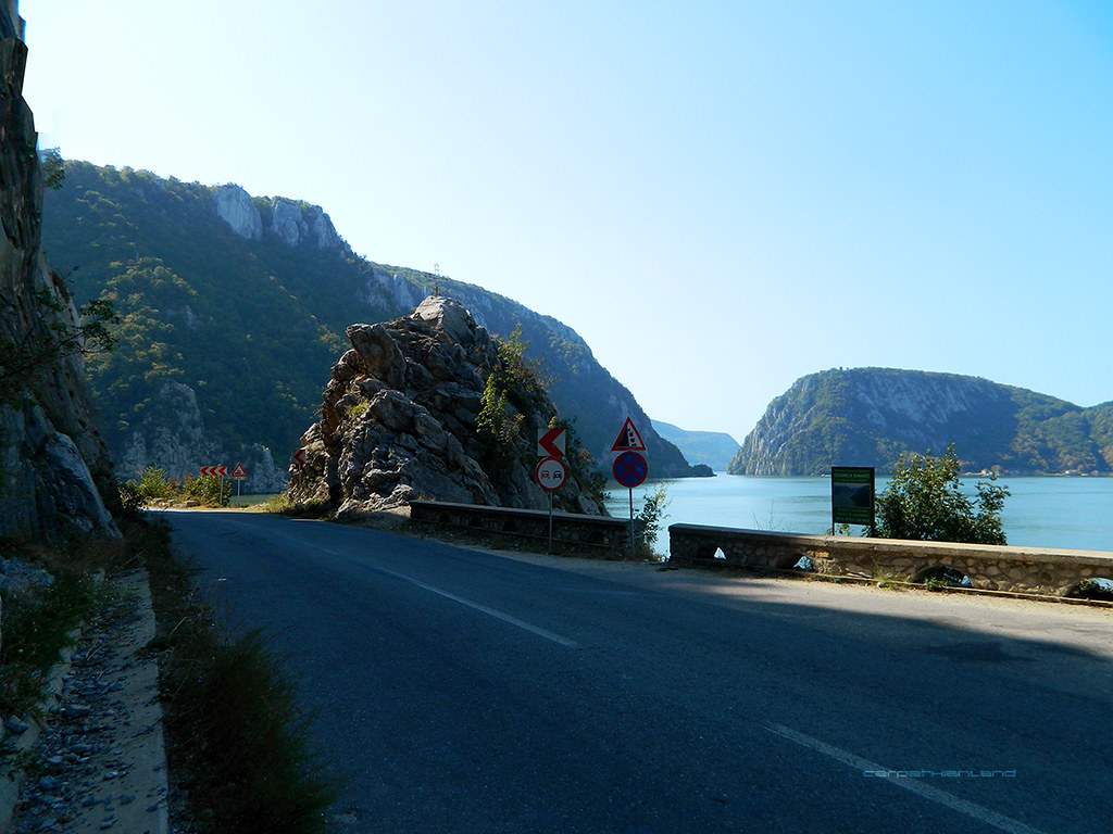
Iron Gates Natural Park by CARPATHIANLAND, on Flickr 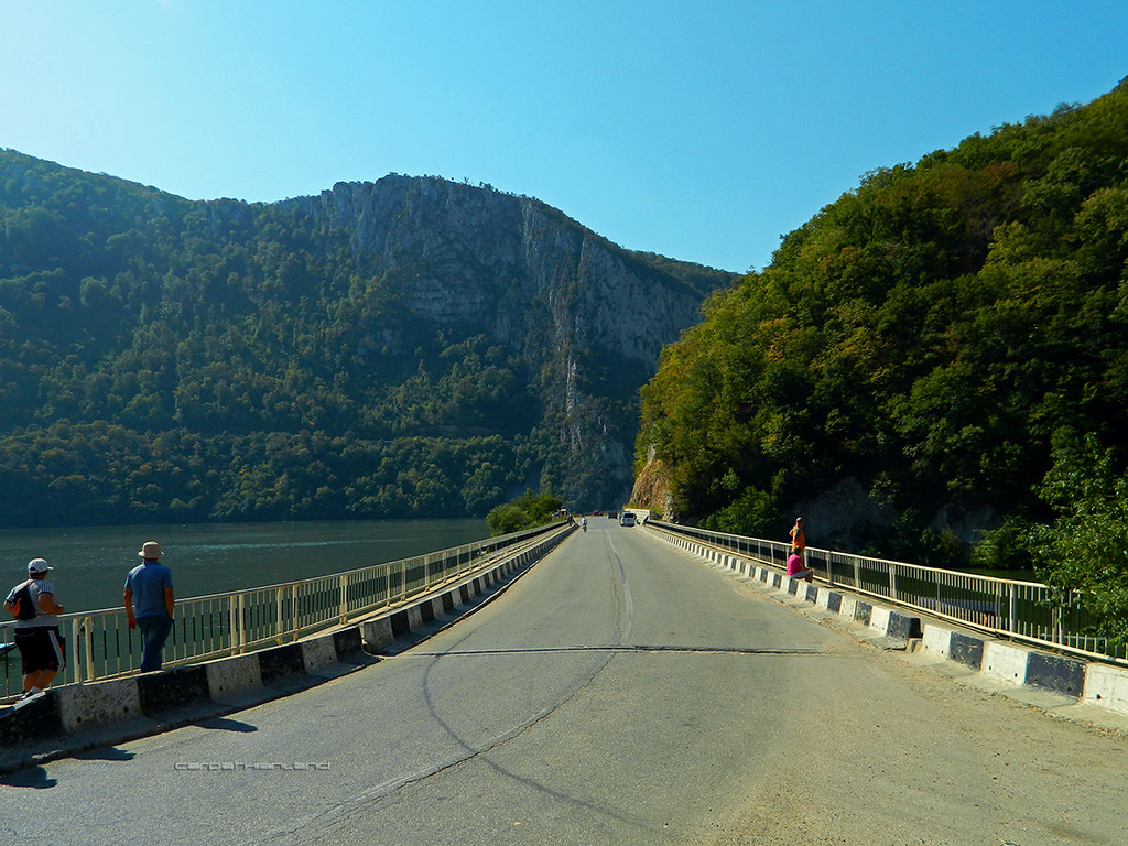
Iron Gates Natural Park - Great Kazan by CARPATHIANLAND, on Flickr Dubova Bay 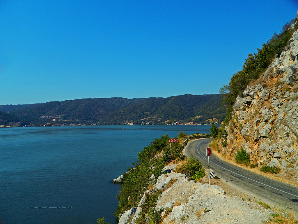
Iron Gates Natural Park - Small Kazan and Dubova Bay by CARPATHIANLAND, on Flickr 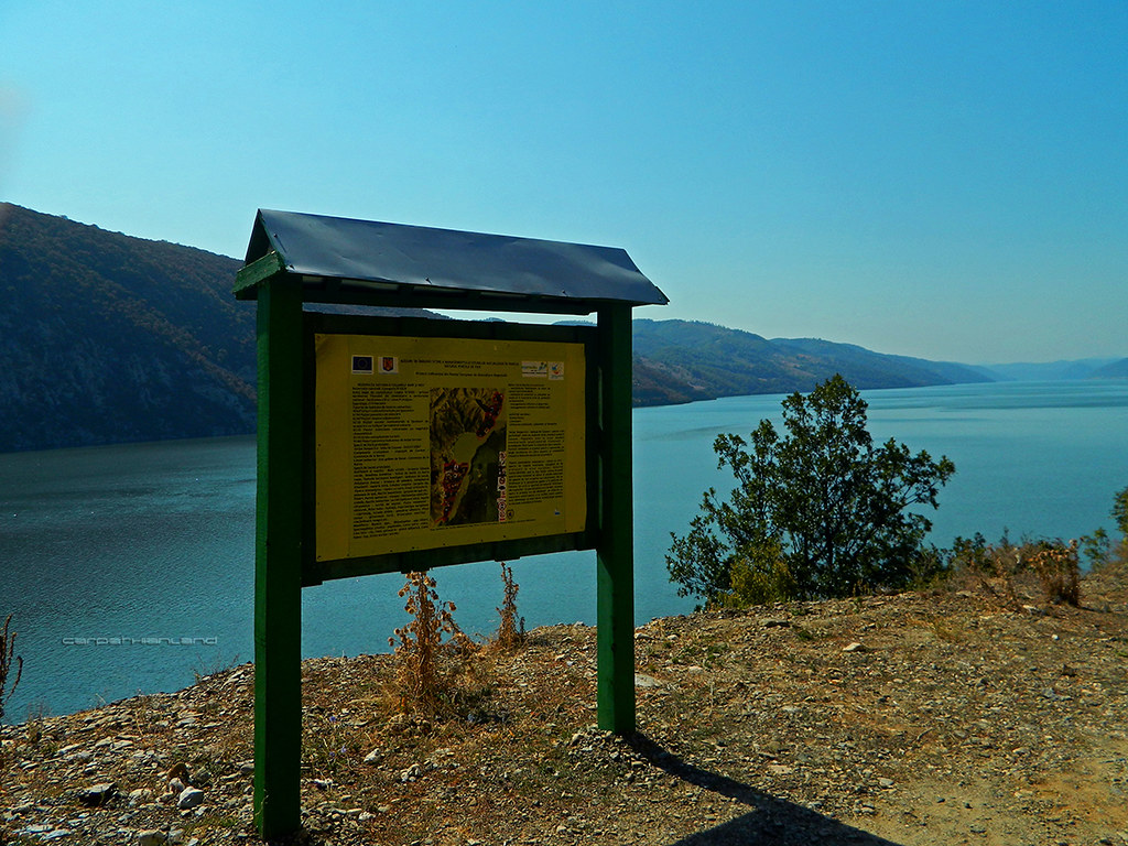
Iron Gates Natural Park - Small Kazan by CARPATHIANLAND, on Flickr Between Dubova and Svinița 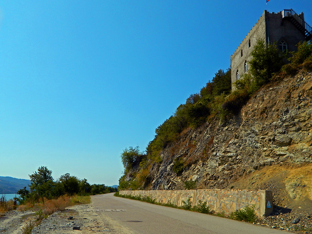
Iron Gates Natural Park - between Dubova and Svinița by CARPATHIANLAND, on Flickr 
Iron Gates Natural Park - between Dubova and Svinița by CARPATHIANLAND, on Flickr 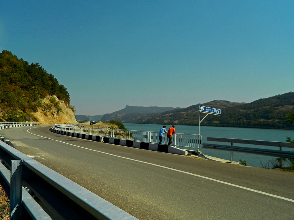
Iron Gates Natural Park - between Dubova and Svinița by CARPATHIANLAND, on Flickr Svinița 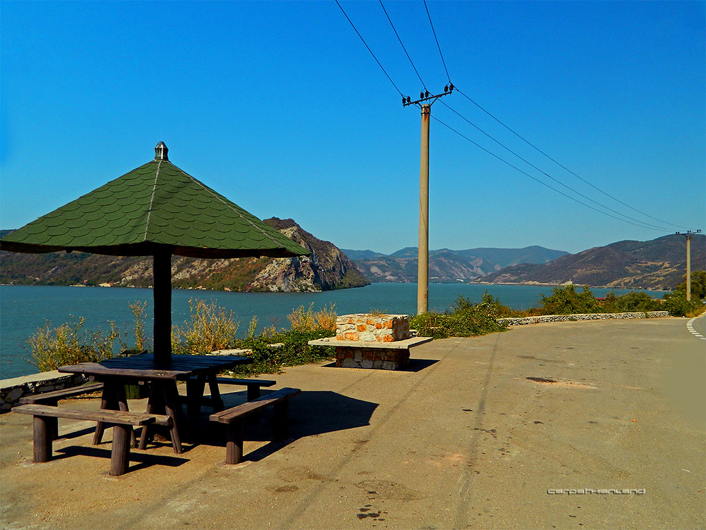
Iron Gates Natural Park - near Svinița by CARPATHIANLAND, on Flickr 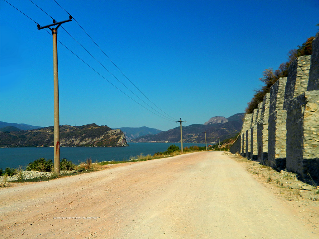
Iron Gates Natural Park - Svinița by CARPATHIANLAND, on Flickr Between Berzasca and Pescari 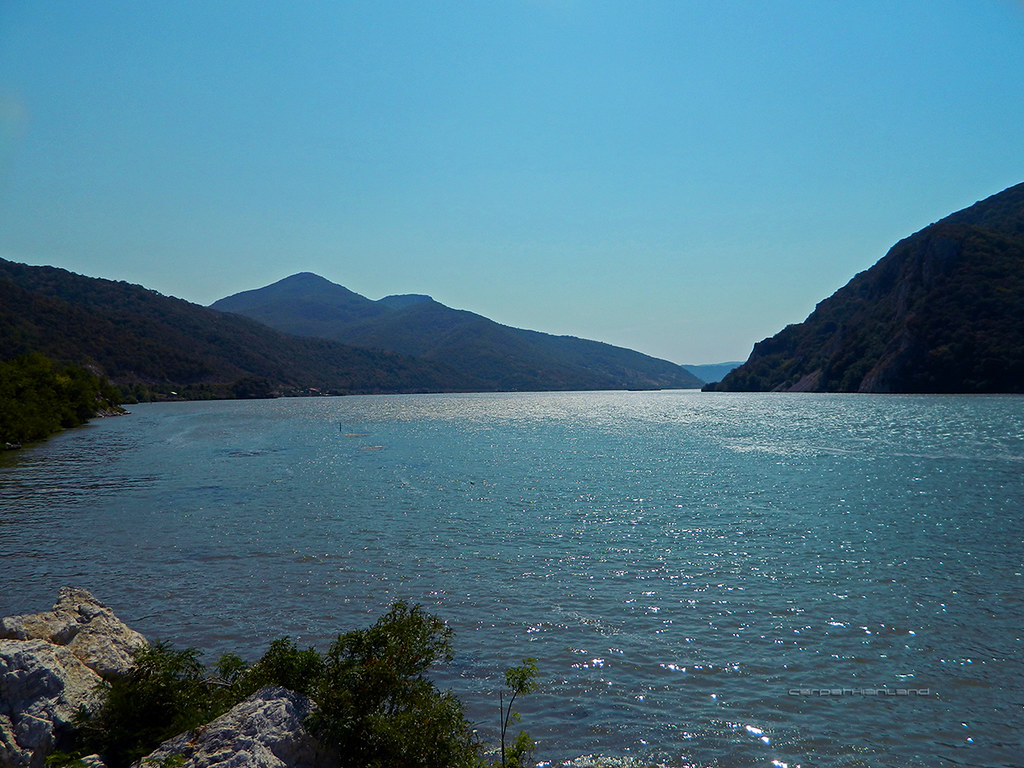
Iron Gates Natural Park - between Berzasca and Pescari by CARPATHIANLAND, on Flickr Golubac Castle (on Serbian bank) and Moldova Nouă Bay 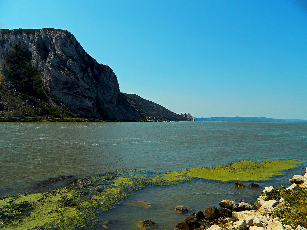
Iron Gates Natural Park by CARPATHIANLAND, on Flickr 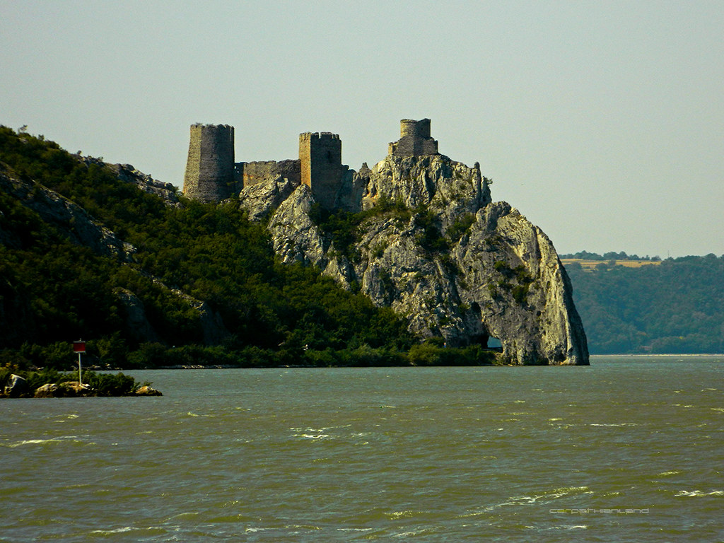
Iron Gates Natural Park by CARPATHIANLAND, on Flickr |
|
|
|
|
|
|
|
Menumorut
Chieftain
Joined: 02-Jun-2006 Location: Romania Online Status: Offline Posts: 1423 |
Quote Reply
Posted: 10-Sep-2012 at 01:28 |
|
[RIGHT]  [/RIGHT] [/RIGHT]
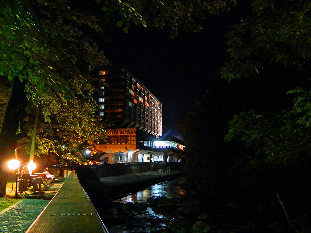
The spa was founded by Romans in 102 CE. During their rule, it was one of most fashionable resorts, visited by aristocrats from all over the Roman world. Ruins of aqueducts, thermae, monuments have been discovered from that time, including six statues of Hercules. A copy of one of them stands in the center of the old town. After the Roman period, the resort was abandoned for more than 1400 years. The Habsburg empire refounded the spa in 1736 preserving its ancient name, "Hercule's Baths". During the Austrian rule (1736-1918) somptuous Baroque and Neoclassical buildings have been constructed. The emperors and empresses Francisc I, Carolina, Franz Joseph and Elisabeth of Austria visited it. Franz Joseph called Herculane "the finest European resort". Empress Elisabeth (Sissi) has built a villa here which is preserved. The resort is situated at only 168 m altitude but has a ionizied athosphere similar to the one found at over 3000 m, as result of many waterfall,s pine forests and thermal springs. The surroundings are a breathtaking natural wilderness, with mountains and crags covered in prehistoric forests typical for the Mediterranean climate. The area is a national park (Domogled - Cerna Valley National Park), one of the most precious in Europe. Neptun Baths 1883-1886 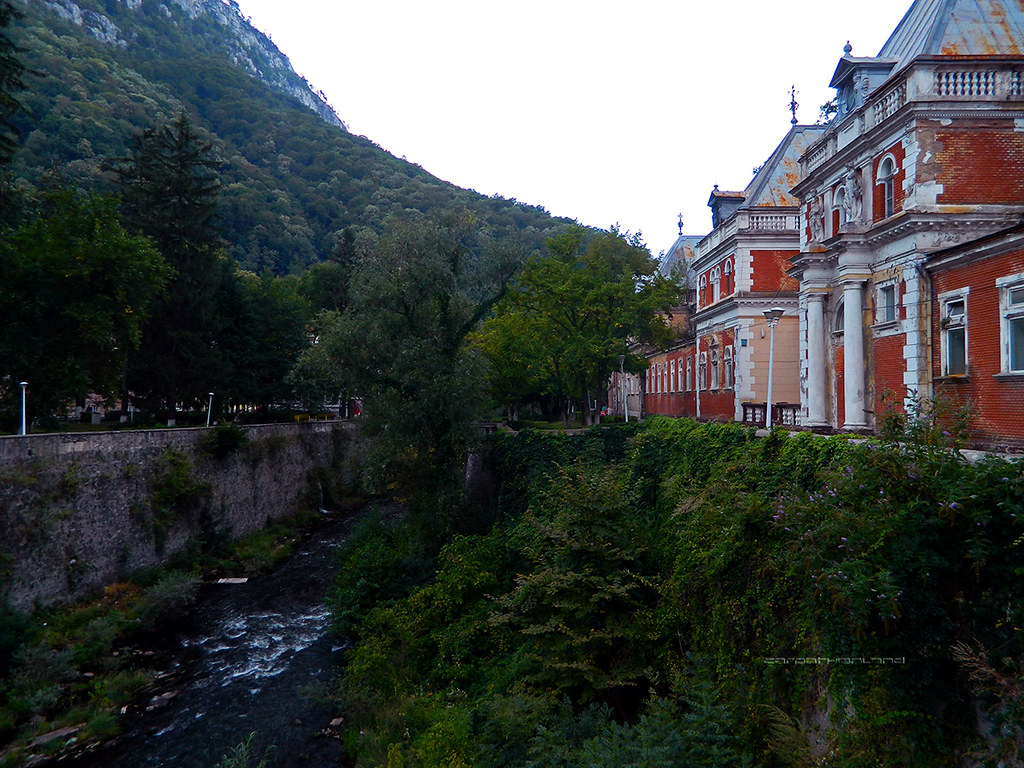
Băile Herculane Spa by CARPATHIANLAND, on Flickr 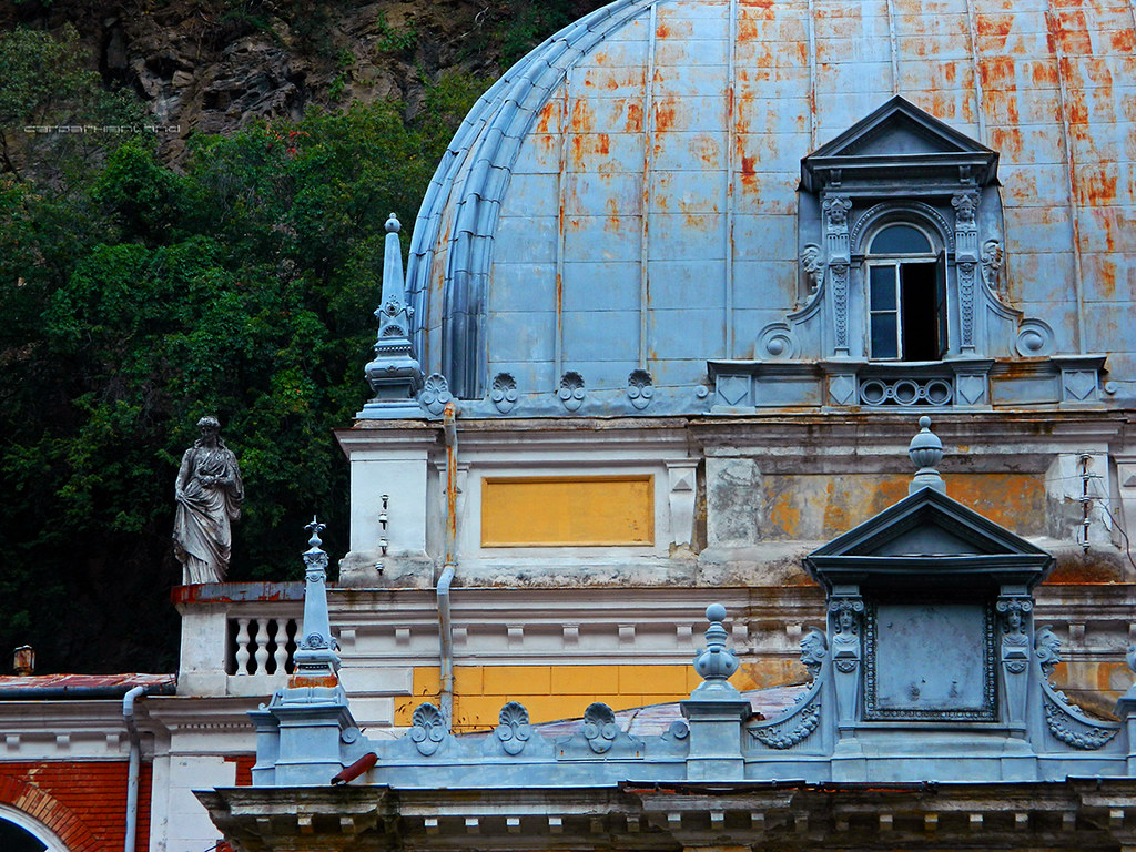
Băile Herculane Spa by CARPATHIANLAND, on Flickr 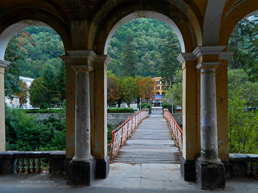
Băile Herculane Spa by CARPATHIANLAND, on Flickr 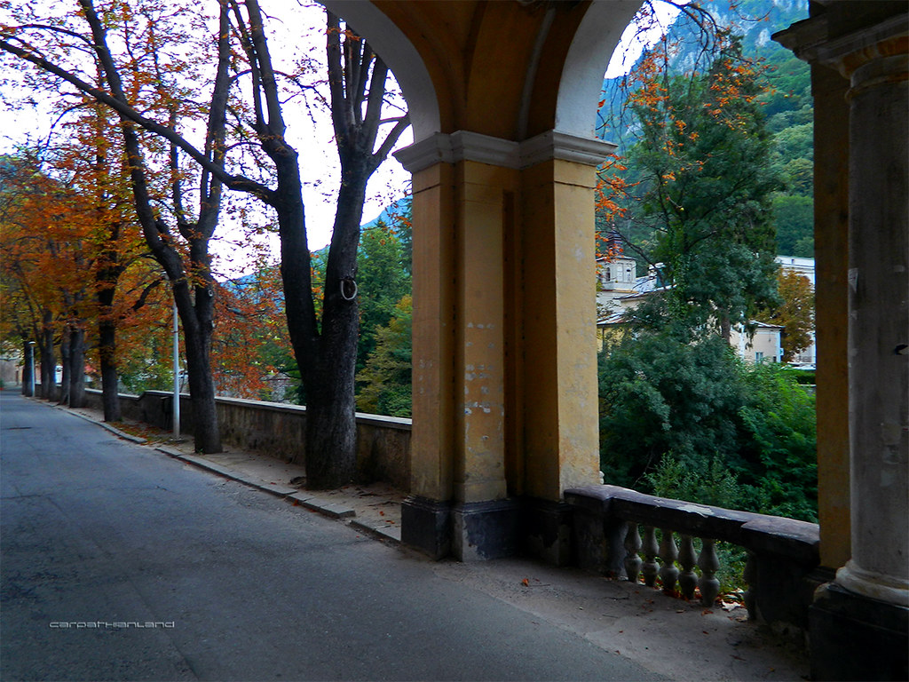
Băile Herculane Spa by CARPATHIANLAND, on Flickr 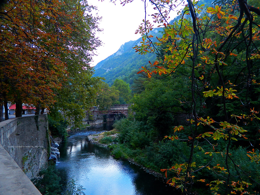
Băile Herculane Spa by CARPATHIANLAND, on Flickr 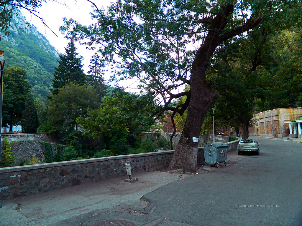
Băile Herculane Spa by CARPATHIANLAND, on Flickr The Hercules Statue cast in 1848. Is a bigger copy of a Roman statue found in Herculane. 
Băile Herculane Spa by CARPATHIANLAND, on Flickr Catholic Church built in 1838 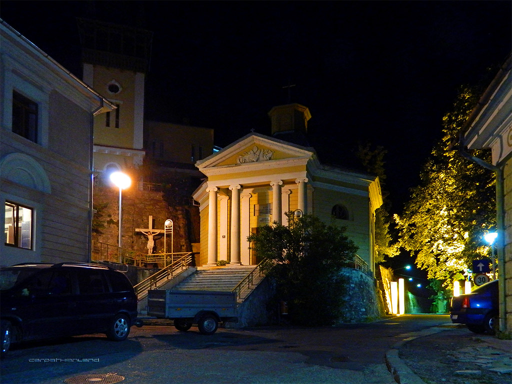
Băile Herculane Spa by CARPATHIANLAND, on Flickr The ancient Roman Thermae integrated in the building of contemporary Hotel Roman 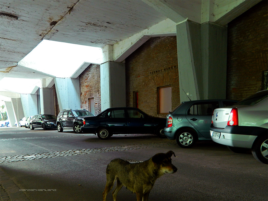
Băile Herculane Spa by CARPATHIANLAND, on Flickr 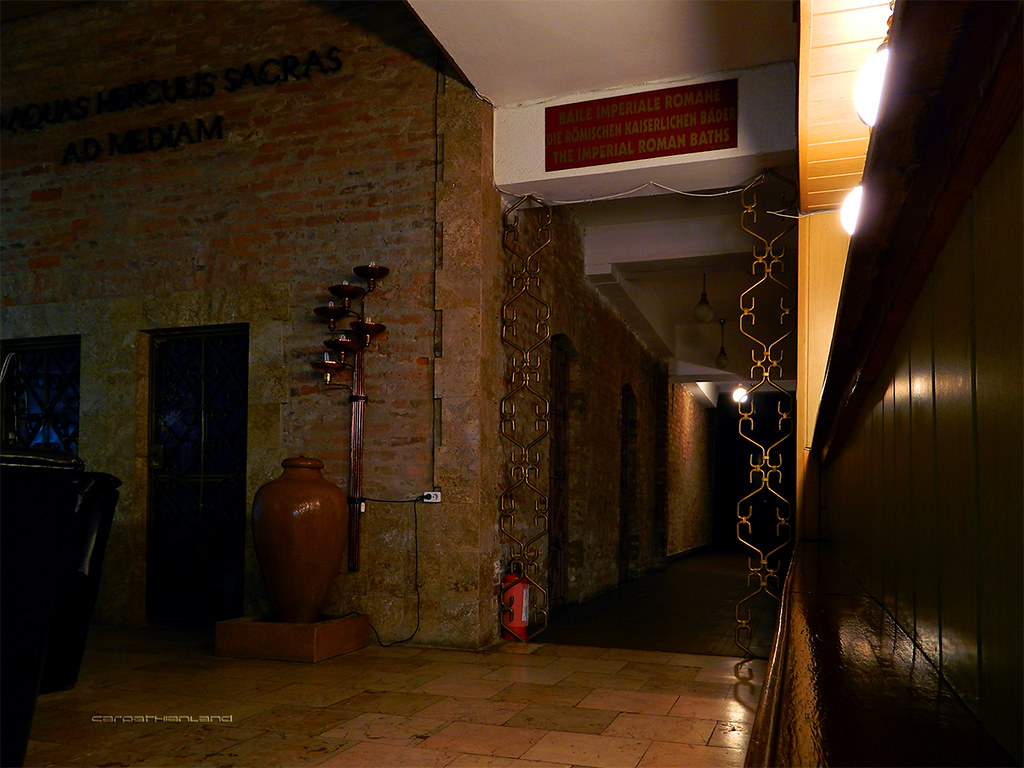
Băile Herculane Spa by CARPATHIANLAND, on Flickr 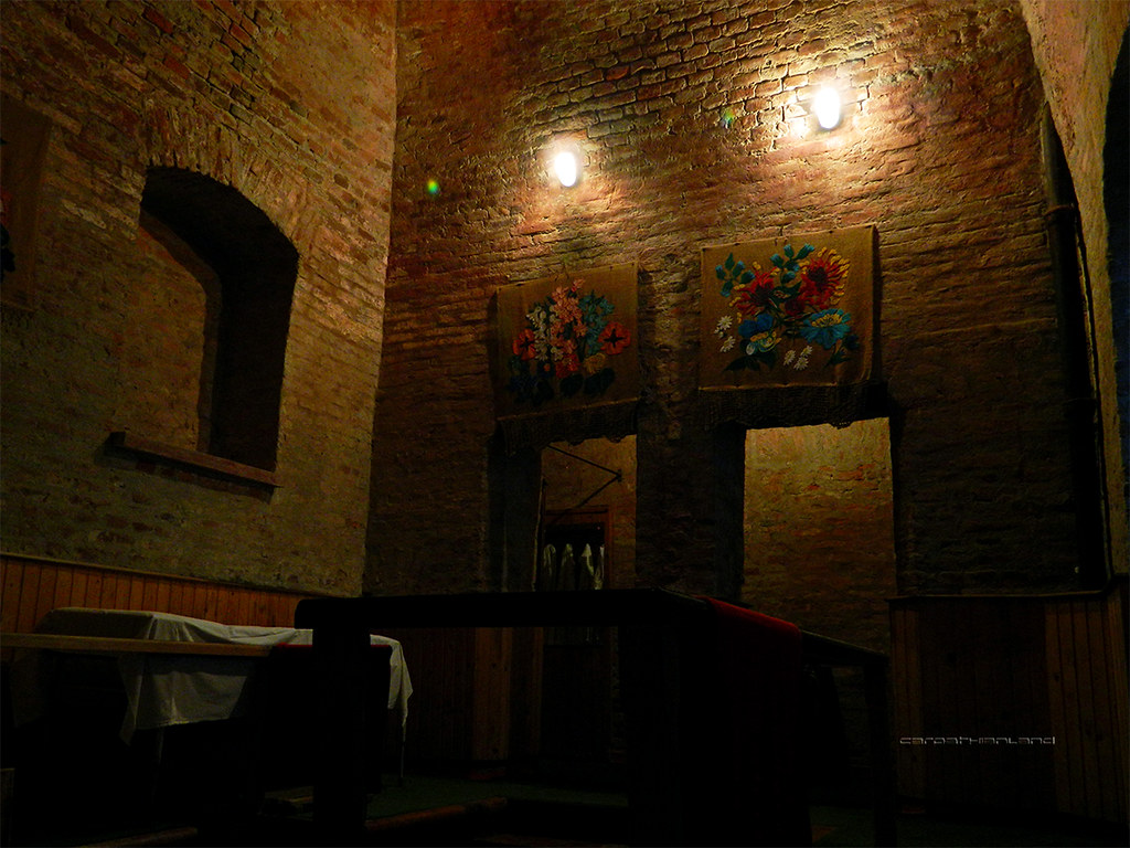
Băile Herculane Spa by CARPATHIANLAND, on Flickr Other Roman thermae in front of Hotel Roman 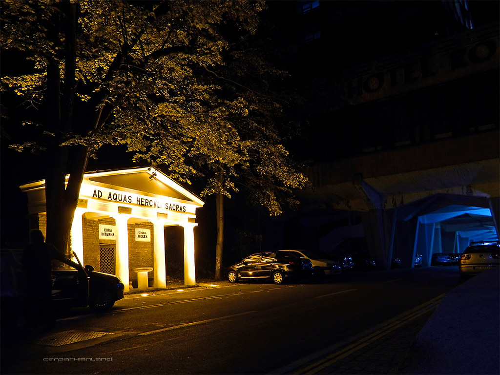 Băile Herculane Spa by CARPATHIANLAND, on Flickr Băile Herculane Spa by CARPATHIANLAND, on Flickr
Băile Herculane Spa by CARPATHIANLAND, on Flickr Other sights 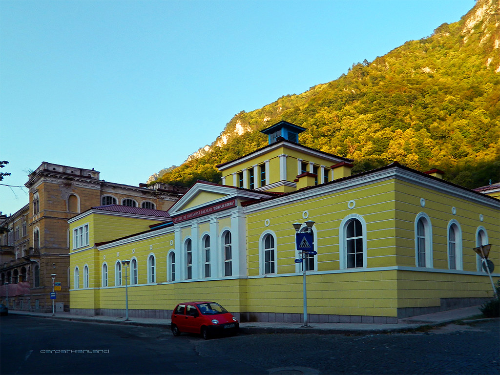
Băile Herculane Spa by CARPATHIANLAND, on Flickr 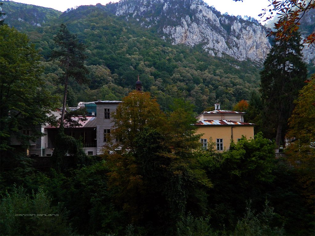
Băile Herculane Spa by CARPATHIANLAND, on Flickr 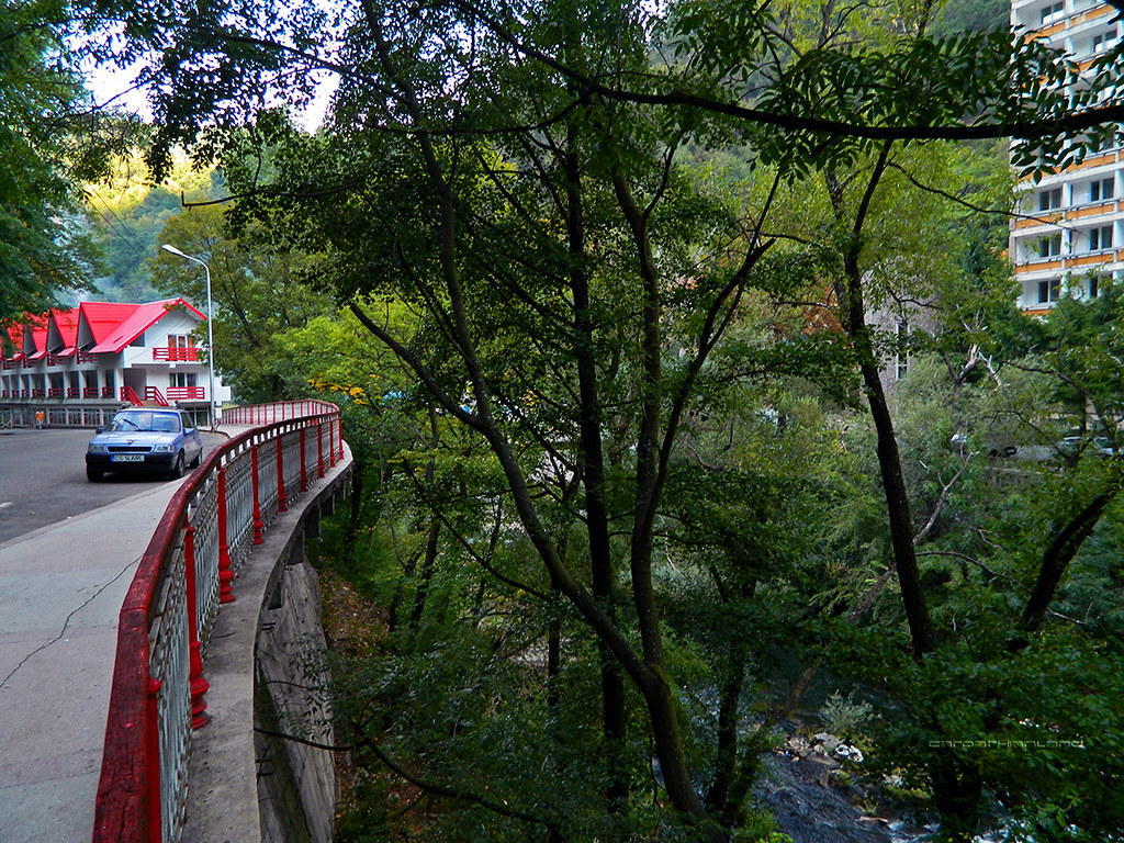
Băile Herculane Spa by CARPATHIANLAND, on Flickr 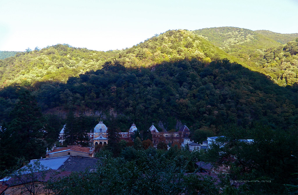
Băile Herculane Spa by CARPATHIANLAND, on Flickr |
|
|
|
|
|
|
|
benzin
Knight 
Joined: 08-Jun-2011 Location: Hungary Online Status: Offline Posts: 89 |
Quote Reply
Posted: 10-Sep-2012 at 15:58 |
|
Thanks for the pictures Menumorut. I was in transylvania 7 years ago but we didnt cross the mountains. Have you ever been in Csangoland ? Bacau and around. I never dared to cross to carpathians, but some say the other side is beautiful too. The roads were crap and there were no enough fuel stations, but I guess it may changed in the last 7 years.
|
|
|
|
|
Menumorut
Chieftain
Joined: 02-Jun-2006 Location: Romania Online Status: Offline Posts: 1423 |
Quote Reply
Posted: 10-Sep-2012 at 18:30 |
|
No, I never been (only passed with the car or train).
In last years most (main) roads have been rebuilt, some zones have such an infrastructure that you can compare with any western country. And not only the roads but the buildings, the quality of life etc. That is not uniform, there are cities and towns that still look crappy and is not hope to change soon (like Constanța or many parts of Bucharest and generally southern Romania) but here too the roads are usually very good and the surrounding landscape is fine. |
|
|
|
|
|
|
|
Menumorut
Chieftain
Joined: 02-Jun-2006 Location: Romania Online Status: Offline Posts: 1423 |
Quote Reply
Posted: 10-Sep-2012 at 18:49 |
|
Domogled - Cerna Valley National Park
Pictures taken on the road crossing the Mehedinți Mountains (coming from Obârșia Cloșani) and going down the Cerna Valley to Băile Herculane. Last photo is with Obârșia Cloșani village which actually is outside the National Park. With a surface of 611 km², is Romania's largest national park. It protects the prehistorical forests in Mehedinți, Godeanu, Domogled and Cerna Mountains, situated along the Cerna Valley. The climate and vegetation is typical Mediterranean. Together with the neighbour Retezat National Park and Țarcu Mountains, the area of DCVNP constitutes the last European Intact Forest Landscape, if are not taken in consideration the boreal regions (Russia and Scandinavia) which is large enough to constitute an Intact Forest Landscape. (Intact Forest Landscape (IFL) is a term and concept developed by a group of environmental non-governmental organizations. Technically, an IFL is defined as a territory within today’s global extent of forest cover which contains forest and non-forest ecosystems minimally influenced by human economic activity, with an area of at least 500 km² and a minimal width of 10 km (measured as the diameter of a circle that is entirely inscribed within the boundaries of the territory. Areas with evidence of certain types of human influence are considered disturbed and consequently not eligible for inclusion in an IFL). 
Domogled - Cerna Valley National Park - Mehedinți Mountains by CARPATHIANLAND, on Flickr 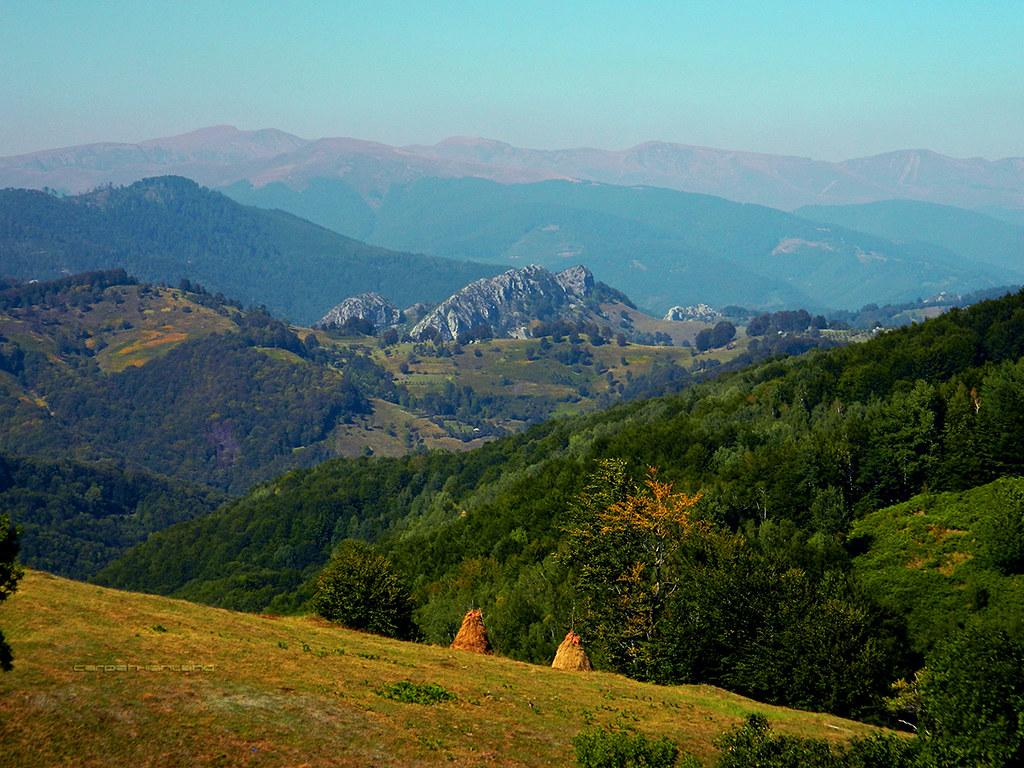
Domogled - Cerna Valley National Park - Mehedinți Mountains by CARPATHIANLAND, on Flickr 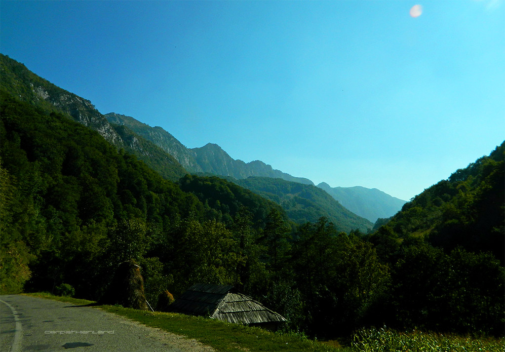
Domogled - Cerna Valley National Park by CARPATHIANLAND, on Flickr 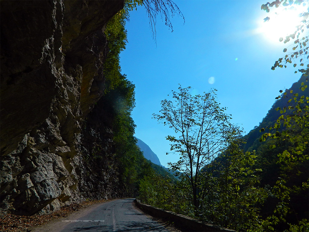
Domogled - Cerna Valley National Park by CARPATHIANLAND, on Flickr 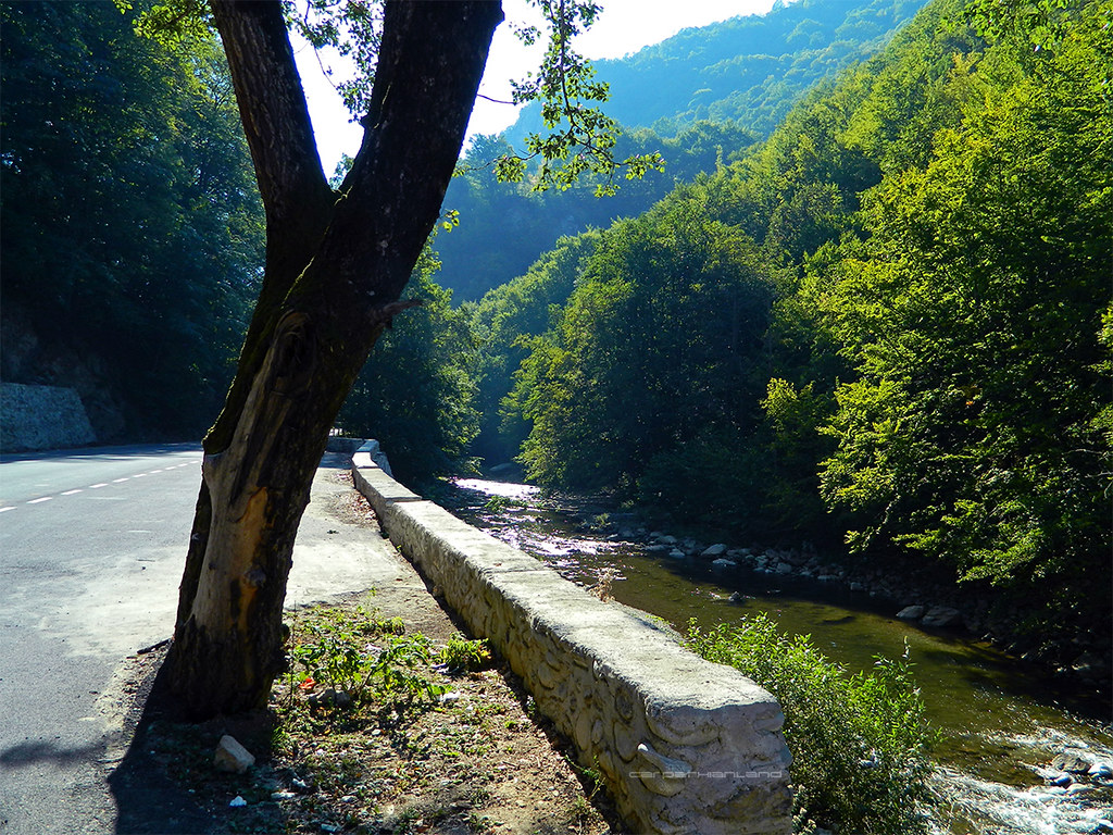
Domogled - Cerna Valley National Park by CARPATHIANLAND, on Flickr 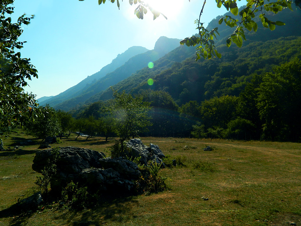
Domogled - Cerna Valley National Park by CARPATHIANLAND, on Flickr 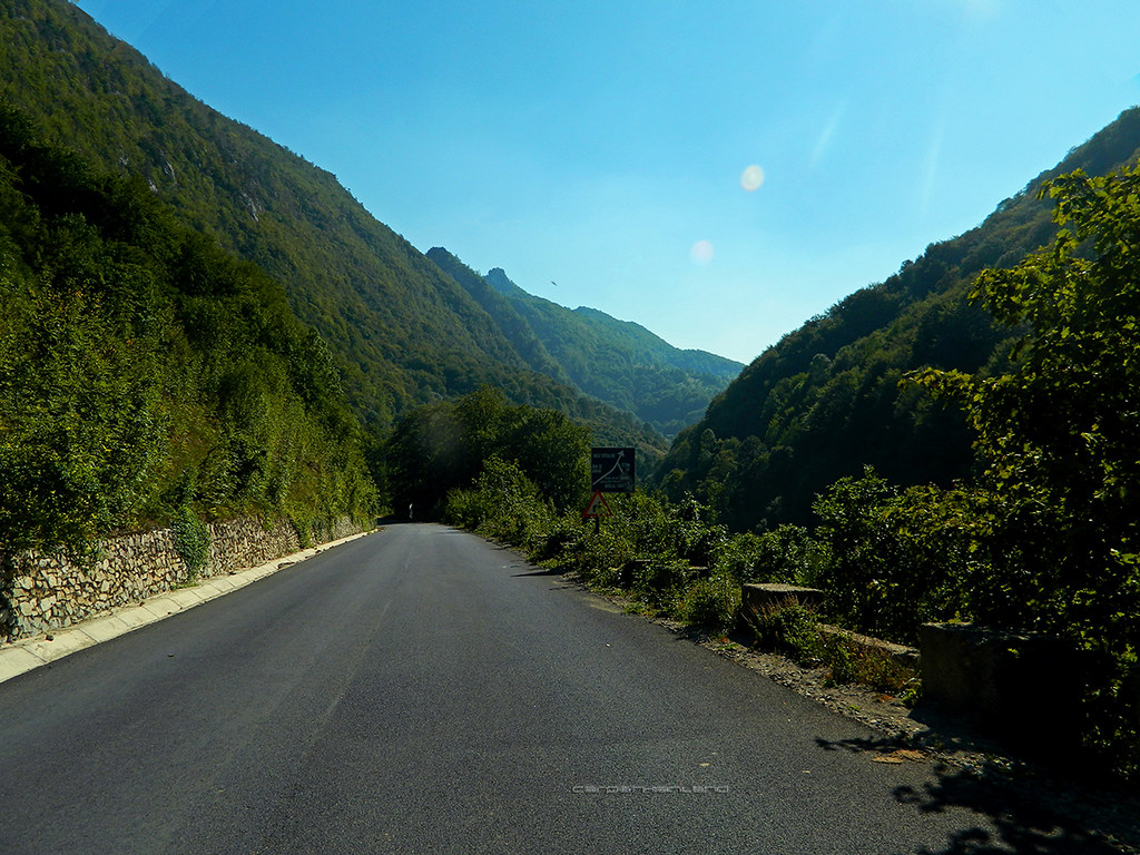
Domogled - Cerna Valley National Park by CARPATHIANLAND, on Flickr 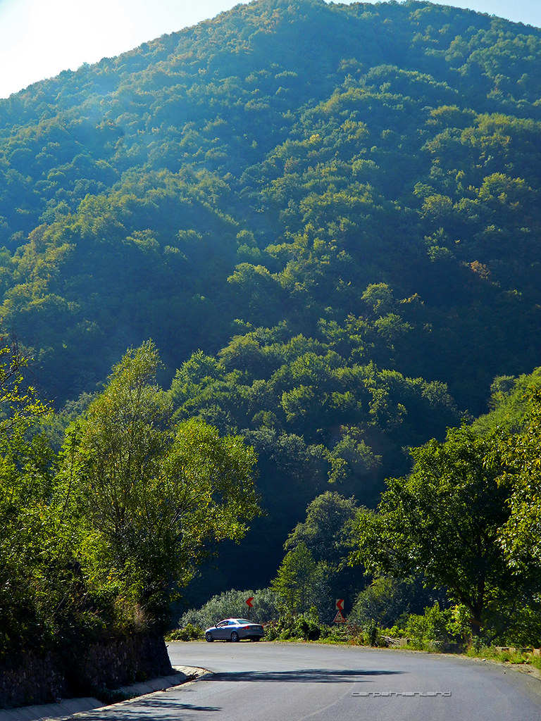
Domogled - Cerna Valley National Park by CARPATHIANLAND, on Flickr 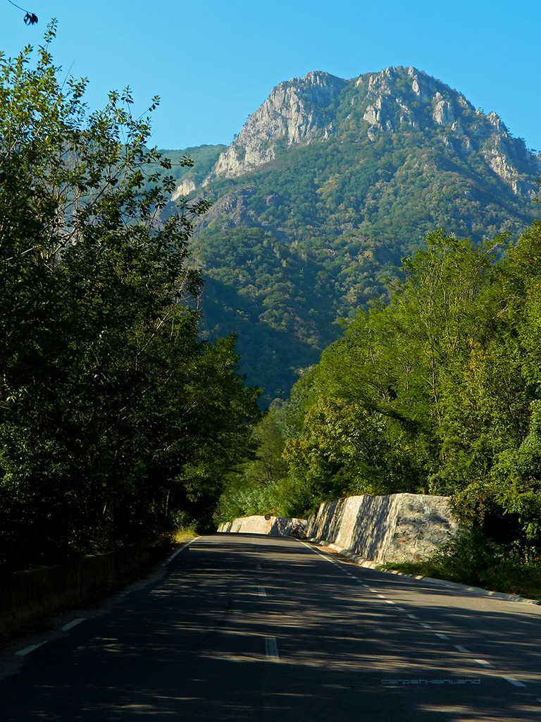
Domogled - Cerna Valley National Park by CARPATHIANLAND, on Flickr 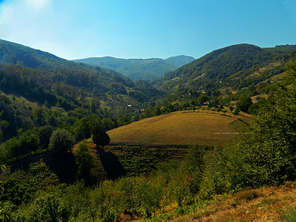
Mehedinți Mountains - Obârșia Cloșani by CARPATHIANLAND, on Flickr |
|
|
|
|
|
|
|
Menumorut
Chieftain
Joined: 02-Jun-2006 Location: Romania Online Status: Offline Posts: 1423 |
Quote Reply
Posted: 16-Sep-2012 at 13:09 |
|
I will continue later with the photos of the trip in Banat - Transylvania.
Here are some photos I made yesterday in Bucharest: 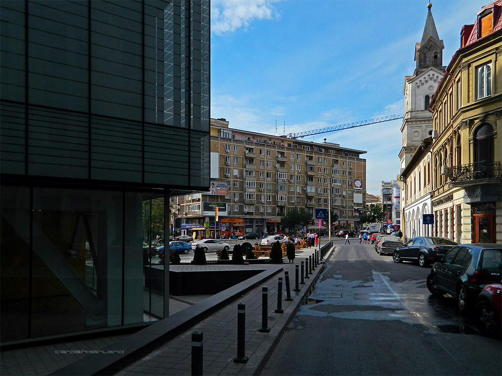
Bucharest - Bărăția Street by CARPATHIANLAND, on Flickr 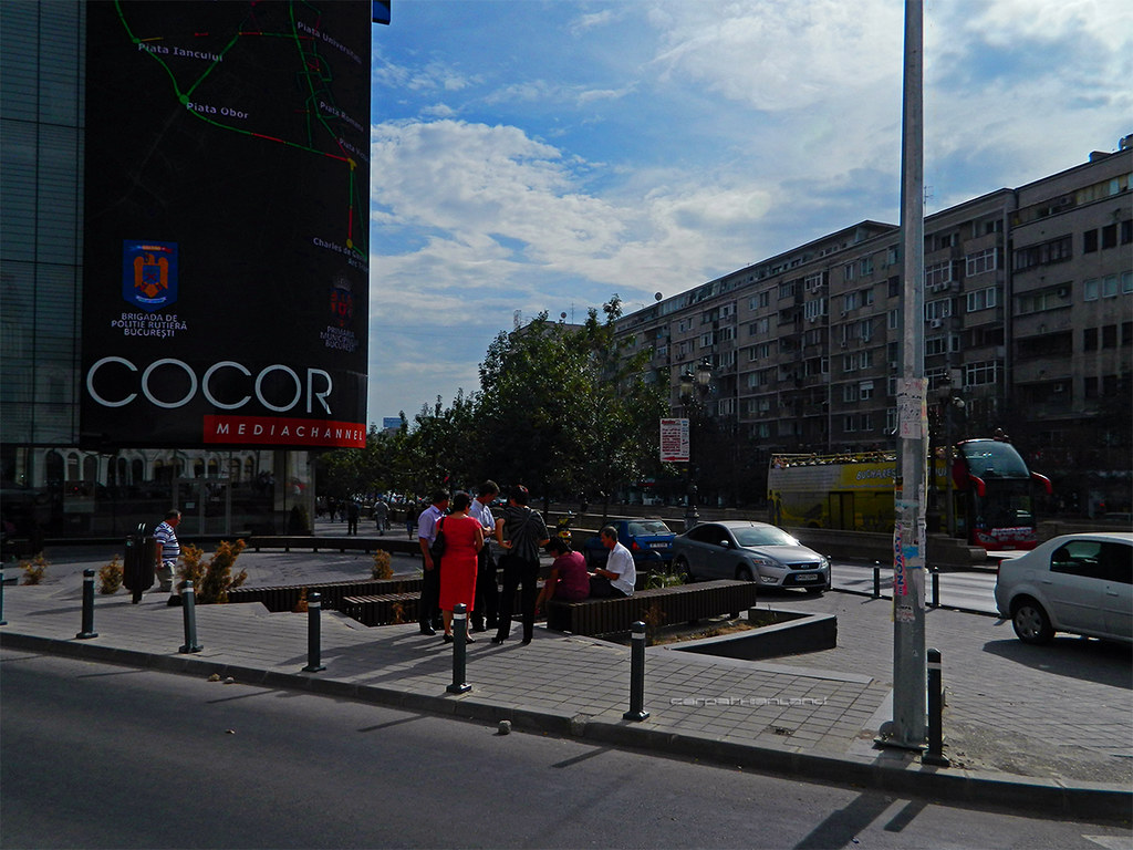
Bucharest - Brătianu Boulevard by CARPATHIANLAND, on Flickr |
|
|
|
|
|
|
|
Menumorut
Chieftain
Joined: 02-Jun-2006 Location: Romania Online Status: Offline Posts: 1423 |
Quote Reply
Posted: 16-Sep-2012 at 13:13 |
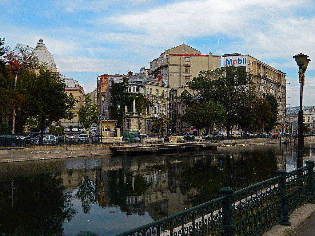
Bucharest - Dâmbovița River by CARPATHIANLAND, on Flickr 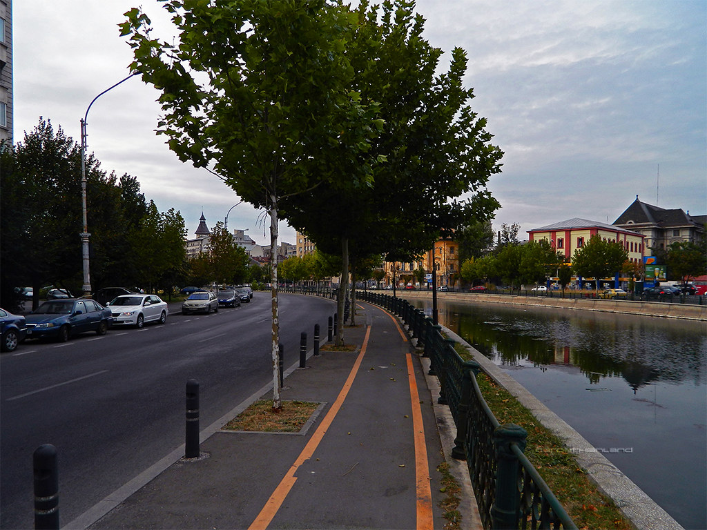
Bucharest - Dâmbovița River by CARPATHIANLAND, on Flickr 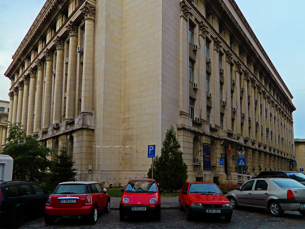
Buchares - Health Ministry by CARPATHIANLAND, on Flickr 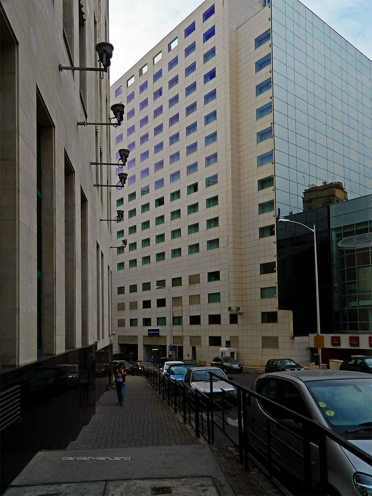
DSCN3539 by CARPATHIANLAND, on Flickr 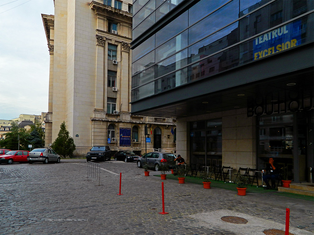
Bucharest - Revolution Square by CARPATHIANLAND, on Flickr 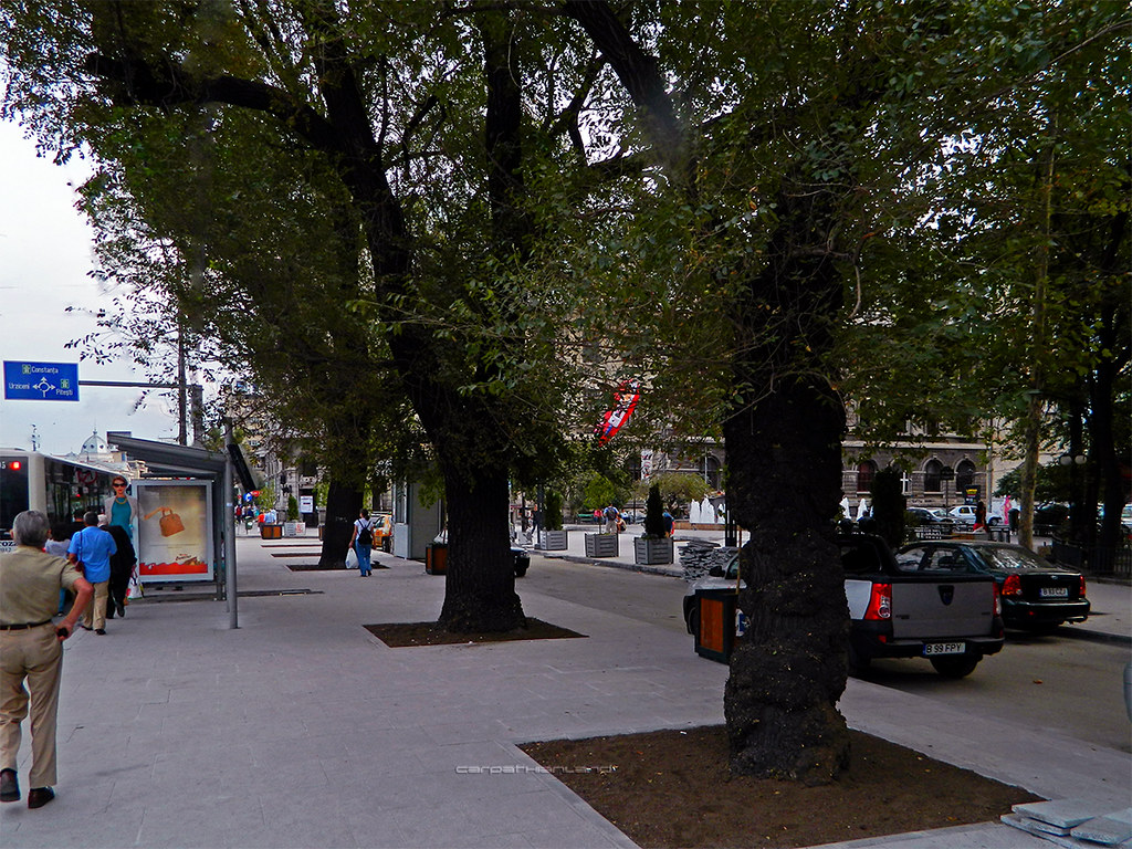
Bucharest - University Square by CARPATHIANLAND, on Flickr 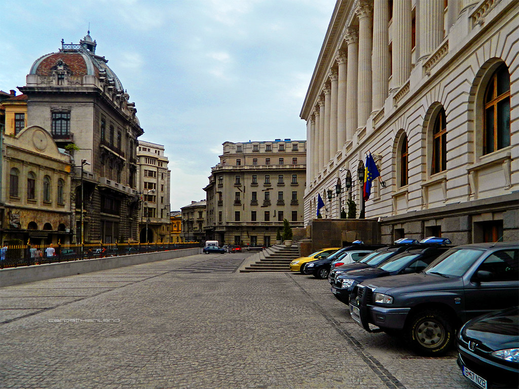
Bucharest - National Bank by CARPATHIANLAND, on Flickr 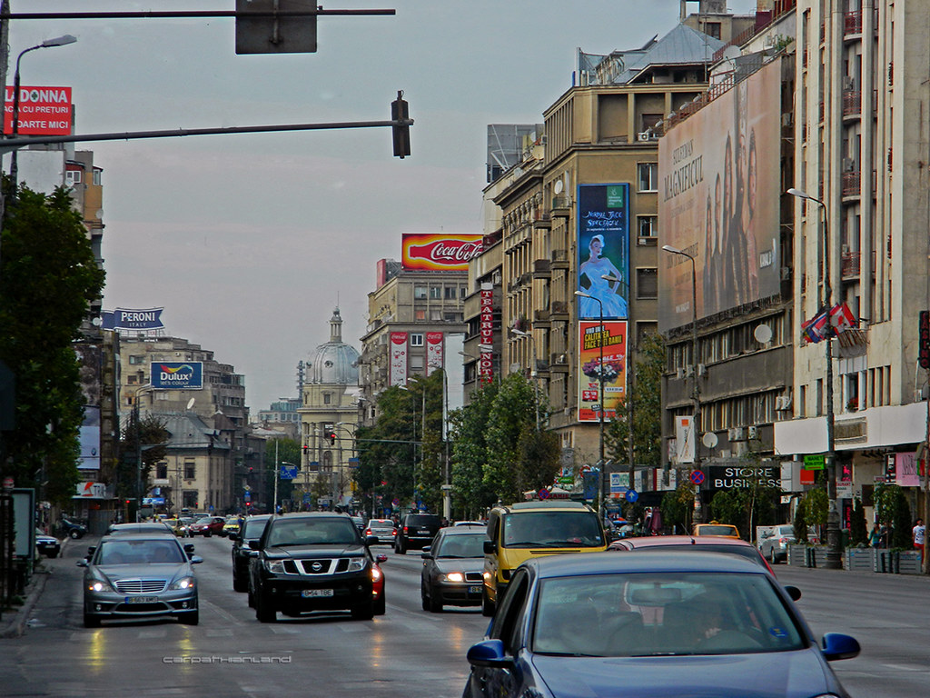
Bucharest - Magheru Boulevard by CARPATHIANLAND, on Flickr 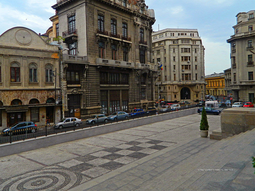
Bucharest - Doamnei Street by CARPATHIANLAND, on Flickr |
|
|
|
|
|
|
|
Menumorut
Chieftain
Joined: 02-Jun-2006 Location: Romania Online Status: Offline Posts: 1423 |
Quote Reply
Posted: 16-Sep-2012 at 13:15 |
Bucharest - Victory Avenue by CARPATHIANLAND, on Flickr 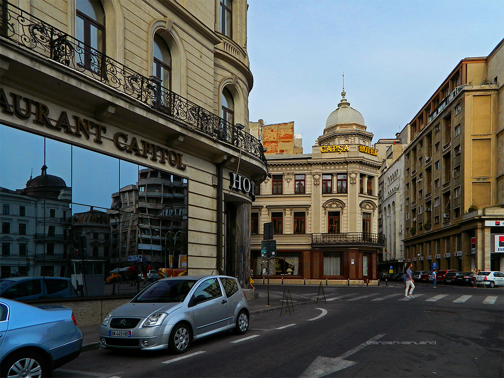
Bucharest - Casa Capșa Restaurant by CARPATHIANLAND, on Flickr 
Bucharest - Constantin Mille Street by CARPATHIANLAND, on Flickr 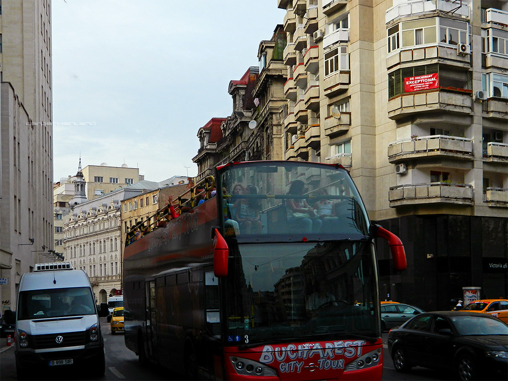
DSCN3538 by CARPATHIANLAND, on Flickr 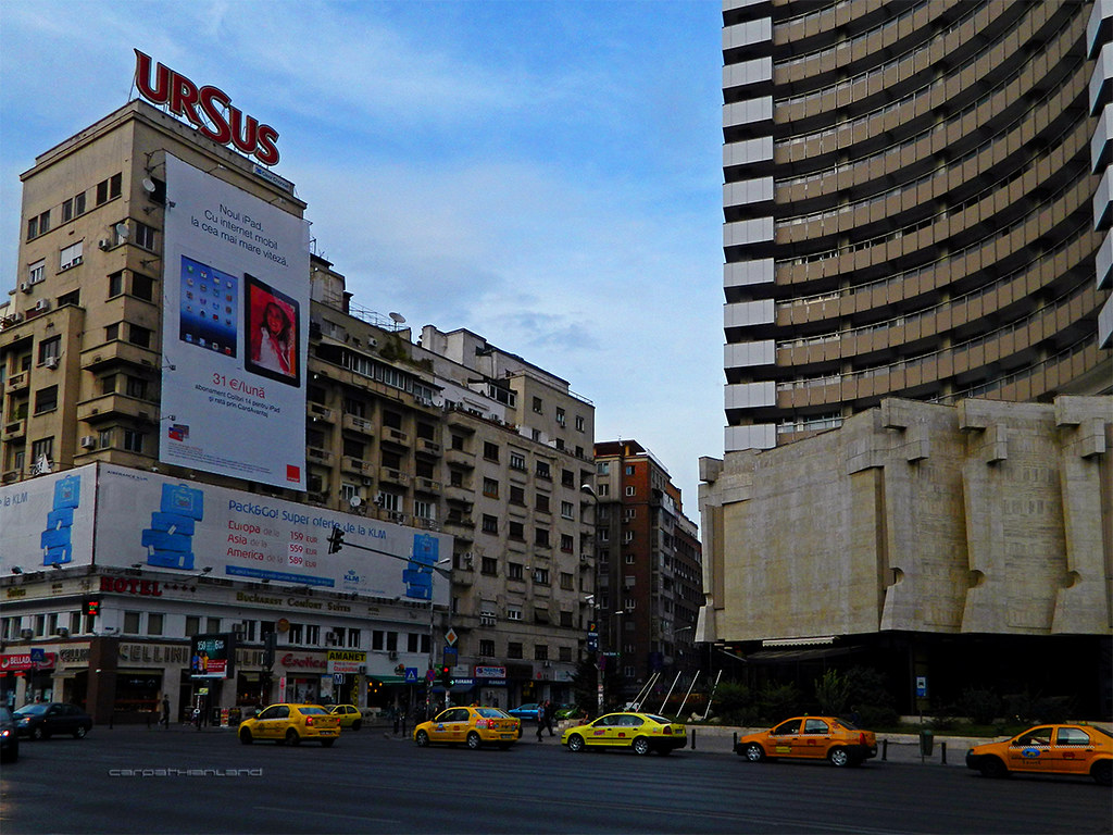
Bucharest - Bălcescu Boulevard by CARPATHIANLAND, on Flickr 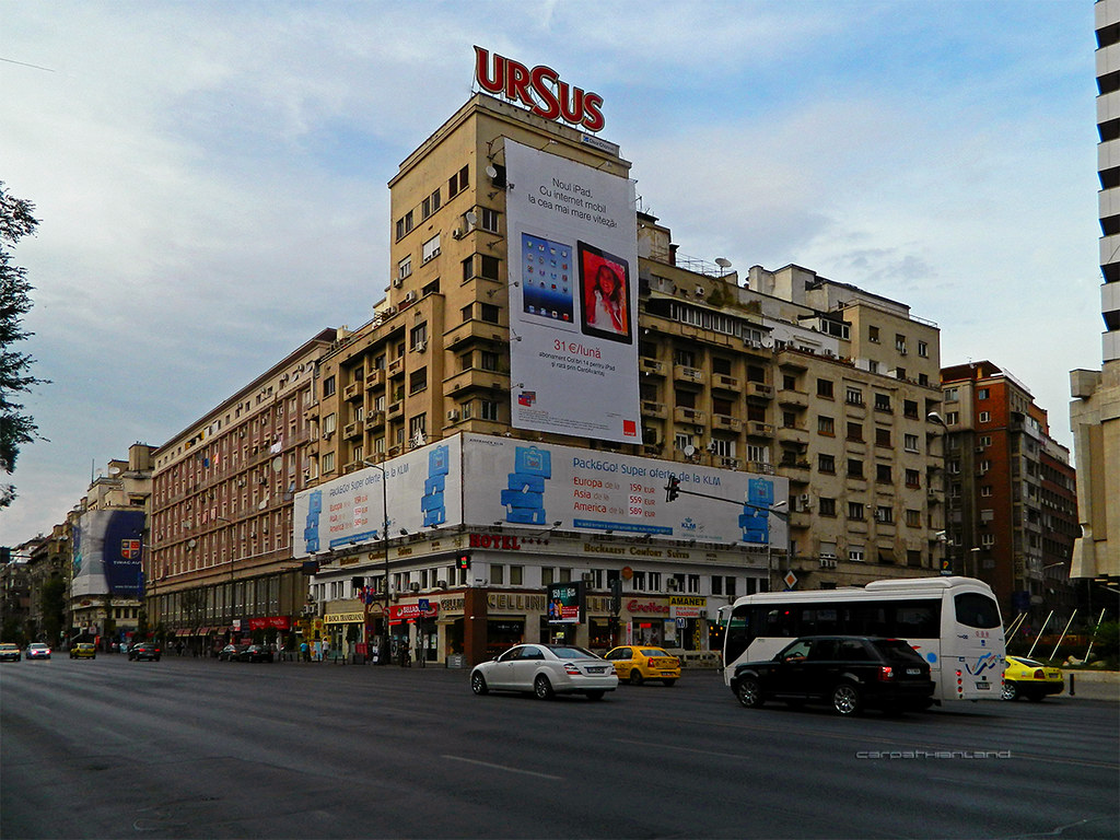
Bucharest - Bălcescu Boulevard by CARPATHIANLAND, on Flickr |
|
|
|
|
|
|
|
Menumorut
Chieftain
Joined: 02-Jun-2006 Location: Romania Online Status: Offline Posts: 1423 |
Quote Reply
Posted: 18-Sep-2012 at 14:12 |
|
My real Man vs Wild adventure - Limpedea Valley, Făgăraș Mountains 
These are photos made last night when I got lost in mountain after making photos of Poenari fortress. The night caught me on mountain, in deep forests. I decided to follow water courses downstream to reach a human settlement and I walked along a brook and then along a river that later I heard is Limpedea. At that moment was completely dark. Limpedea Valley is in its upper sector an unbelieveble wild gorges, wigh a river bed 3 to 10 m wide and stone walls inclided between 70° and 90° (vertical) and up to 100 m high. There are many waterfalls, some as high as 10 m and huge trees (up to 1 m in diameter and 20-30 m tall) growing from river bed or from surrounding rocks. In river bed there are extremely numerous fallen trees in various stages of putrefaction, together with many rocks, some very big. In the night, the sight of these gorges, rocks and trees was fantastic. Unfortunately, I thought that my flash can't reach a big distance and I didn't made photos in the gorges. The mountains in these areas are full of bears, lynxes, deers and other animals, as shown by their many footprints in the sand strips of the river bed. While going along the gorges I had to pass over waterfalls and other dificult sectors. At one point, I entered in the water of a basin 1 m deep, wetting my clothes. I walked like this 1 or two hours, when I slipped on a rock and my headlamp fell in the water. At that moment, I was without any light source, alone in the forest. It was so dark that I couldn't see anything, except the dark blue sky above the forest. As I feared animals, I tried to climb a tree but the slopes of the gorges were so abrupt that I had to hardly crawl through mud. Later I climbed up 1-2 m in a tree suspended above abyss where I spent some hours. Around me, wild animals where searching their food, including one or more bears which I recognized after the sound of their heavy body cracking fallen branches. Then I went down from tree as I feared that if I would doze, I would fall in the abyss below. I spent more hours on an abrupt slope and then another hours in the river bed, without sleeping in the entire night and being wet in a temperature of ~10°C. To the morning, before dawn, I saw at 5 m from me the phoshorescent eyes of a bear at which I shout and he went off. Then, I finished my walk along the gorges and arrived in Arefu village. These photos are taken while I was still on Albina Mountain and was getting dark. 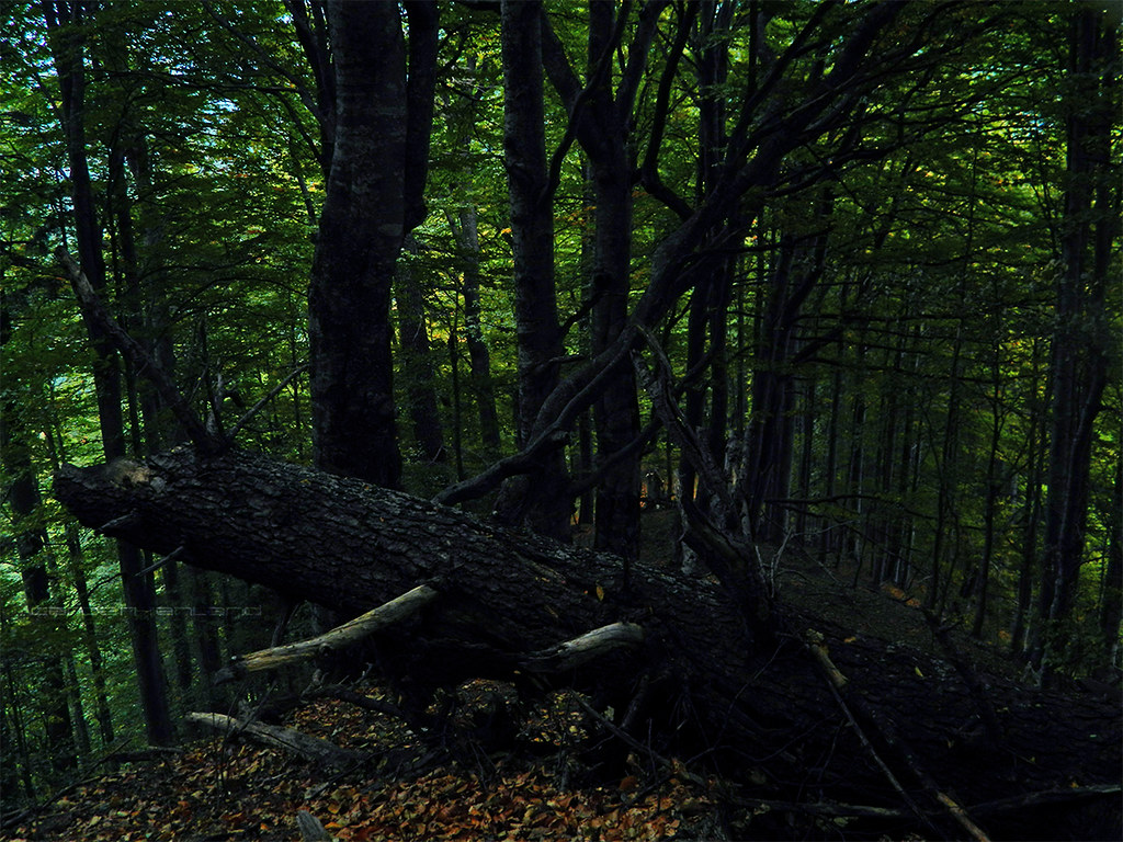
My real Man vs Wild adventure - Limpedea Valley, Făgăraș Mountains by CARPATHIANLAND, on Flickr 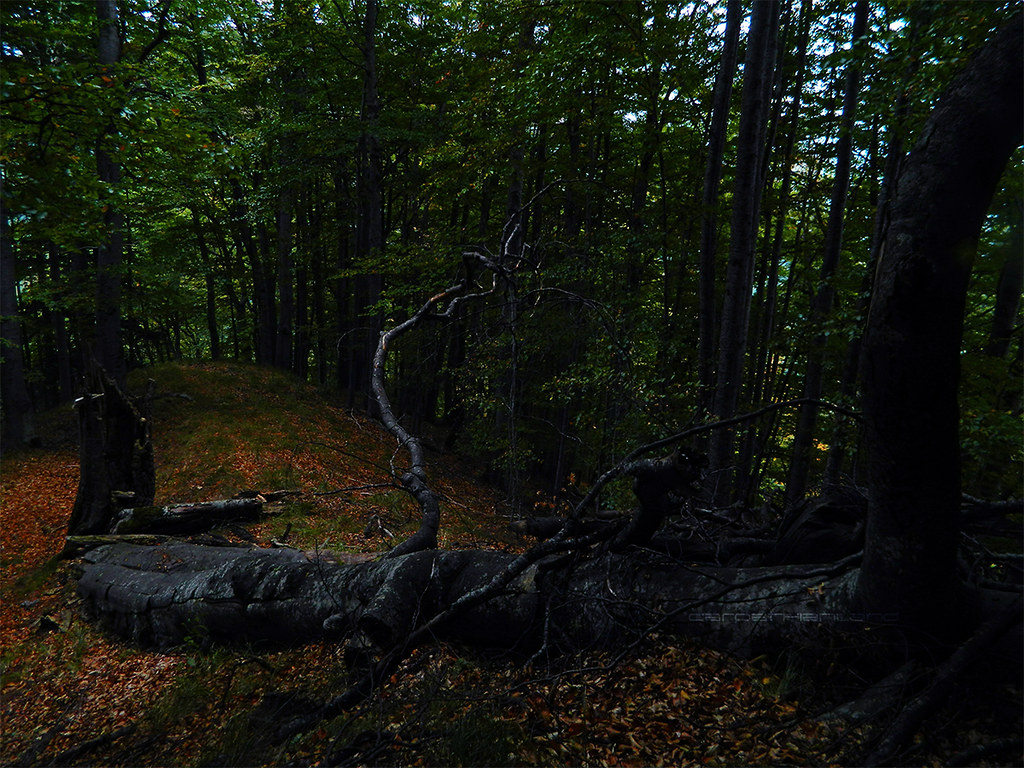
My real Man vs Wild adventure - Limpedea Valley, Făgăraș Mountains by CARPATHIANLAND, on Flickr 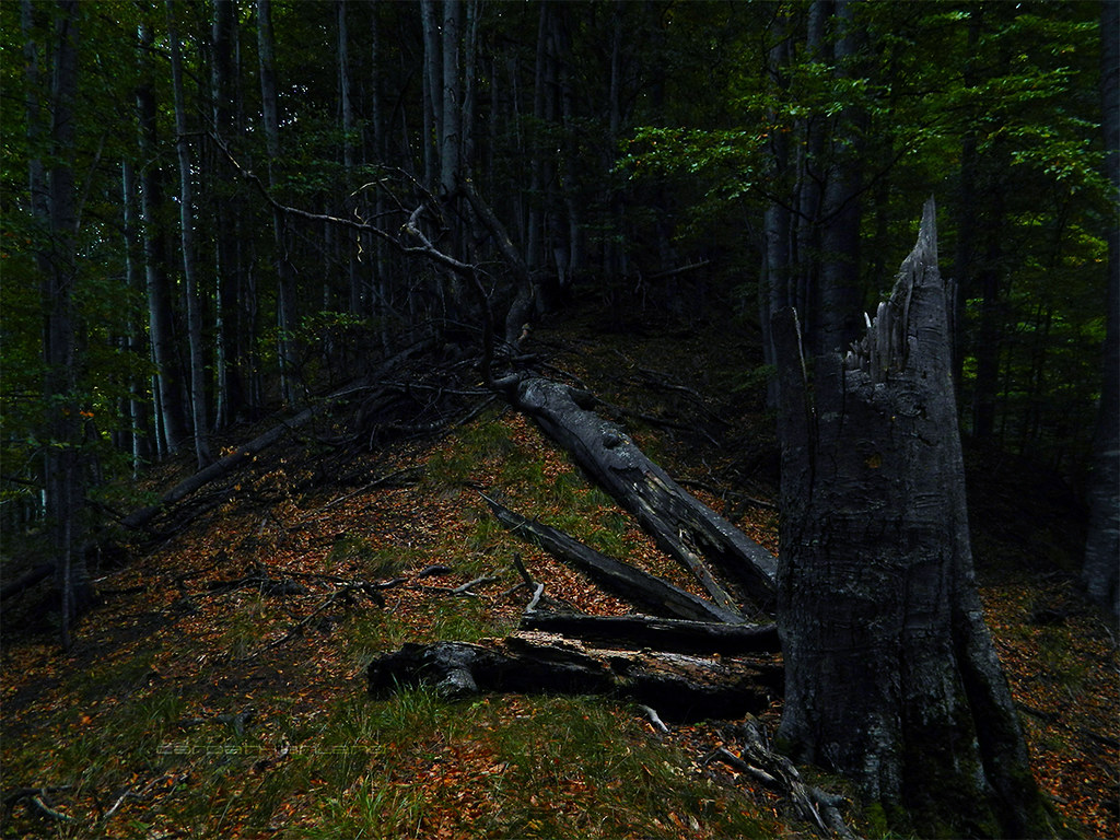
My real Man vs Wild adventure - Limpedea Valley, Făgăraș Mountains by CARPATHIANLAND, on Flickr Limpedea Valley. The final sector of the gorges, less spectacular. 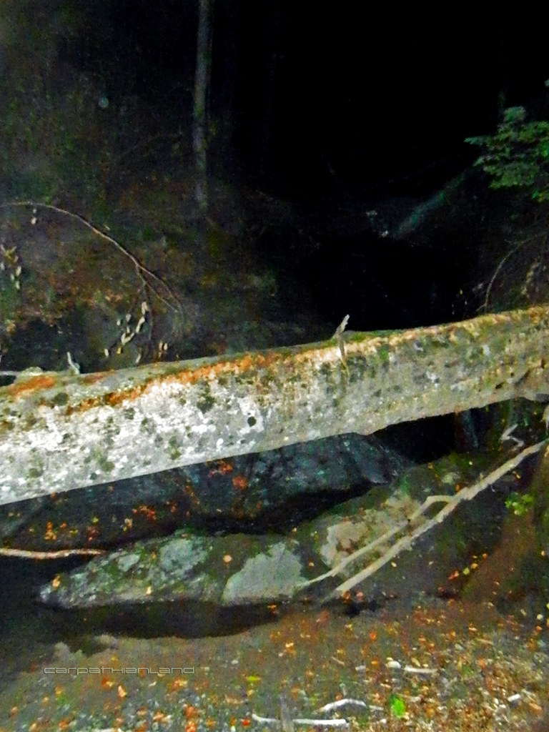
My real Man vs Wild adventure - Limpedea Valley, Făgăraș Mountains by CARPATHIANLAND, on Flickr 
My real Man vs Wild adventure - Limpedea Valley, Făgăraș Mountains by CARPATHIANLAND, on Flickr Bear and lynx footprints one near another ] 
My real Man vs Wild adventure - Limpedea Valley, Făgăraș Mountains by CARPATHIANLAND, on Flickr |
|
|
|
|
|
|
|
eaglecap
Tsar

Retired AE Moderator Joined: 15-Feb-2005 Location: ArizonaUSA Online Status: Offline Posts: 3959 |
Quote Reply
Posted: 22-Sep-2012 at 00:14 |

Near the Dragoon Mountains in Arizona 
Chiricahua wilderness area in Coronado National Forest -Chiricahua Mtns. Arizona 
 Edited by eaglecap - 22-Sep-2012 at 00:44 |
|
|
Λοιπόν, αδελφοί και οι συμπολίτες και οι στρατιώτες, να θυμάστε αυτό ώστε μνημόσυνο σας, φήμη και ελευθερία σας θα ε
|
|
|
|
|
eaglecap
Tsar
Retired AE Moderator Joined: 15-Feb-2005 Location: ArizonaUSA Online Status: Offline Posts: 3959 |
Quote Reply
Posted: 22-Sep-2012 at 00:52 |
|
Chiricahua national Monument Arizona USA 

|
|
|
Λοιπόν, αδελφοί και οι συμπολίτες και οι στρατιώτες, να θυμάστε αυτό ώστε μνημόσυνο σας, φήμη και ελευθερία σας θα ε
|
|
|
|
|
Menumorut
Chieftain
Joined: 02-Jun-2006 Location: Romania Online Status: Offline Posts: 1423 |
Quote Reply
Posted: 09-Dec-2012 at 14:52 |
|
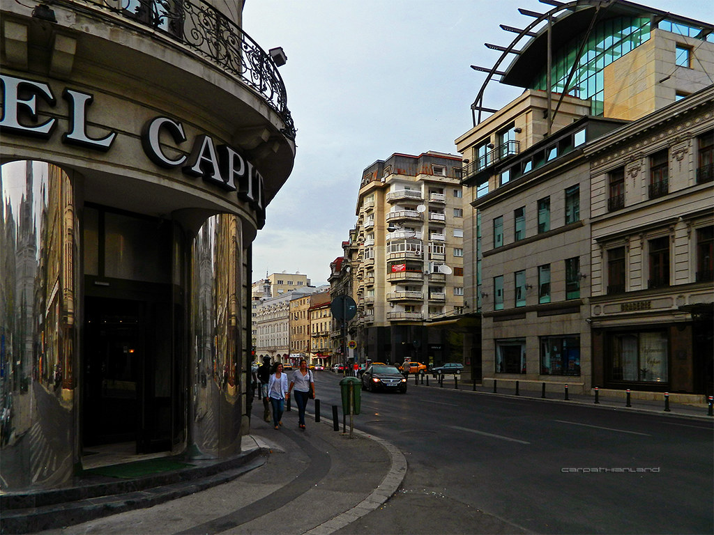
Not exactly a travel but some shots I made in Bucharest some days ago
|
|
|
|
|
|
|
|
Menumorut
Chieftain
Joined: 02-Jun-2006 Location: Romania Online Status: Offline Posts: 1423 |
Quote Reply
Posted: 11-Jan-2013 at 04:49 |
|
I came yesterday from a trip in Szekely Land (eastern part of Transylvania, inhabited by Szekely People, a branch of Hungarians with an archaic language and distinct culture.

Photos and videos with the villages seen from the railway between Sfântu Gheorghe and Gheorgheni 
Csíkkozmás (Cozmeni in Romanian),Székely Land region, Transylvania, Romania by CARPATHIANLAND, on Flickr 
Csatószeg (Cetățuia in Romanian),Székely Land region, Transylvania, Romania by CARPATHIANLAND, on Flickr 
Csatószeg (Cetățuia in Romanian),Székely Land region, Transylvania, Romania by CARPATHIANLAND, on Flickr 
Csíkkarcfalva (Cârța in Romanian),Székely Land region, Transylvania, Romania by CARPATHIANLAND, on Flickr 
Csíkkarcfalva (Cârța in Romanian),Székely Land region, Transylvania, Romania by CARPATHIANLAND, on Flickr 
Madéfalva (Siculeni in Romanian),Székely Land region, Transylvania, Romania by CARPATHIANLAND, on Flickr 
Marosfő (Izvoru Mureșului in Romanian),Székely Land region, Transylvania, Romania by CARPATHIANLAND, on Flickr |
|
|
|
|
|
|
|
Menumorut
Chieftain
Joined: 02-Jun-2006 Location: Romania Online Status: Offline Posts: 1423 |
Quote Reply
Posted: 11-Jan-2013 at 04:52 |
|
Town of Gheorgheni / Gyergyószentmiklós . It was -15C in the evening and -26C in the morning.
Gyergyószentmiklós (Gheorgheni in Romanian), Székely Land region, Transylvania, Romania by CARPATHIANLAND, on Flickr 
Gyergyószentmiklós (Gheorgheni in Romanian), Székely Land region, Transylvania, Romania by CARPATHIANLAND, on Flickr 
Gyergyószentmiklós (Gheorgheni in Romanian), Székely Land region, Transylvania, Romania by CARPATHIANLAND, on Flickr 
Gyergyószentmiklós (Gheorgheni in Romanian), Székely Land region, Transylvania, Romania by CARPATHIANLAND, on Flickr 
Gyergyószentmiklós (Gheorgheni in Romanian), Székely Land region, Transylvania, Romania by CARPATHIANLAND, on Flickr 
Gyergyószentmiklós (Gheorgheni in Romanian), Székely Land region, Transylvania, Romania by CARPATHIANLAND, on Flickr 
Gyergyószentmiklós (Gheorgheni in Romanian), Székely Land region, Transylvania, Romania by CARPATHIANLAND, on Flickr |
|
|
|
|
|
|
|
Menumorut
Chieftain
Joined: 02-Jun-2006 Location: Romania Online Status: Offline Posts: 1423 |
Quote Reply
Posted: 11-Jan-2013 at 04:56 |
|
Valea Strâmbă / Tekerőpatak, a village near Gheorgheni. Temperature -26C
Tekerőpatak (Valea Strâmbă in Romanian), Székely Land region, Transylvania, Romania by CARPATHIANLAND, on Flickr 
Tekerőpatak (Valea Strâmbă in Romanian), Székely Land region, Transylvania, Romania by CARPATHIANLAND, on Flickr 
Tekerőpatak (Valea Strâmbă in Romanian), Székely Land region, Transylvania, Romania by CARPATHIANLAND, on Flickr 
Tekerőpatak (Valea Strâmbă in Romanian), Székely Land region, Transylvania, Romania by CARPATHIANLAND, on Flickr 
Tekerőpatak (Valea Strâmbă in Romanian), Székely Land region, Transylvania, Romania by CARPATHIANLAND, on Flickr 
Tekerőpatak (Valea Strâmbă in Romanian), Székely Land region, Transylvania, Romania by CARPATHIANLAND, on Flickr |
|
|
|
|
|
|
|
Post Reply
|
Page 12> |
| Forum Jump | Forum Permissions You cannot post new topics in this forum You cannot reply to topics in this forum You cannot delete your posts in this forum You cannot edit your posts in this forum You cannot create polls in this forum You cannot vote in polls in this forum |
Bulletin Board Software by Web Wiz Forums® version 9.56a [Free Express Edition]
Copyright ©2001-2009 Web Wiz
This page was generated in 0.140 seconds.
Copyright ©2001-2009 Web Wiz
This page was generated in 0.140 seconds.

